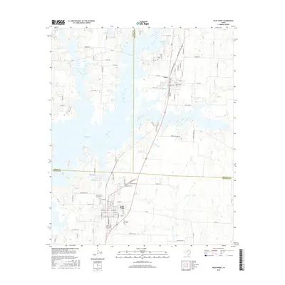
2016 Map of Pilot Point
USGS Topo · Published 2016About this map
Pilot Point and Tioga anchor this North Texas landscape at the intersection of Denton, Grayson, and Cooke counties. The massive expanse of Ray Roberts Lake dominates the western half of the map, having fundamentally reshaped the terrain around the historic settlements. The town of Tioga is shown north of the lake, featuring a concentrated street grid that includes Gene Autry Dr and S Donation St, while the Tioga Cem sits just northwest of the town center. To the south, Pilot Point maintains its traditional core with several smaller water bodies nearby, including Fair Lake and Robert W Henzler Lake. Local genealogy and land use are evidenced by the Skinner Cem and family-named landmarks like Hammond Lake and the B and L Ranch Lake. The road network reflects both modern transit and historical routes, ranging from the Ray Roberts Pkwy to the Cattle Trl near the northern boundary.
Find a feature on this map
95 named features on this map. Tap any name to fly to it.
Don’t see what you’re looking for? This feature index may not catch every label — zoom into the map to look around manually.
Map Details
Editions of this 2016 Pilot Point Map
This is the sole edition of this map. No revisions or reprints were ever made.
Other maps of this area

1901 · Denison
USGS Topo · 1:125,000

1902 · Gainesville
USGS Topo · 1:125,000

1943 · Gainesville
USGS Topo · 1:125,000

1954 · Sherman
USGS Topo · 1:250,000

1958 · Whitesboro
USGS Topo · 1:62,500

1958 · Sherman
USGS Topo · 1:250,000

1960 · Green Valley
USGS Topo · 1:24,000

1960 · Celina
USGS Topo · 1:24,000

1960 · Aubrey
USGS Topo · 1:24,000

1960 · Woodbine
USGS Topo · 1:24,000