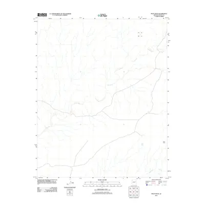
2011 Map of Pilot Rock
USGS Topo · Published 2011About this map
Leroux Wash dominates the hydrology of this high-desert region in northern Arizona, carving a complex network of drainage across the landscape toward the southwest. This 2011 survey reveals a territory defined by its water management and distinct landforms, where isolated cattle tanks such as Two Mill Tank and Rabbit Tank represent the critical infrastructure for ranching in an arid environment. The most prominent natural landmark is Pilot Rock, standing as a navigational beacon in the southeastern quadrant. The lack of dense settlement or paved corridors on this sheet highlights the remote character of the area, where minor seasonal streams like Digger Wash feed into larger systems, illustrating the natural erosional patterns of the Colorado Plateau.
Find a feature on this map
6 named features on this map. Tap any name to fly to it.
Don’t see what you’re looking for? This feature index may not catch every label — zoom into the map to look around manually.
Map Details
Editions of this 2011 Pilot Rock Map
This is the sole edition of this map. No revisions or reprints were ever made.
Other maps of this area

1883 · Tusayan
USGS Topo · 1:250,000

1886 · Tusayan
USGS Topo · 1:250,000

1886 · Fort Defiance
USGS Topo · 1:250,000

1892 · Fort Defiance
USGS Topo · 1:250,000

1947 · Flagstaff
USGS Topo · 1:250,000

1954 · Flagstaff
USGS Topo · 1:250,000

1954 · Gallup
USGS Topo · 1:250,000

1958 · Gallup
USGS Topo · 1:250,000

1958 · Flagstaff
USGS Topo · 1:250,000

1959 · Gallup
USGS Topo · 1:250,000