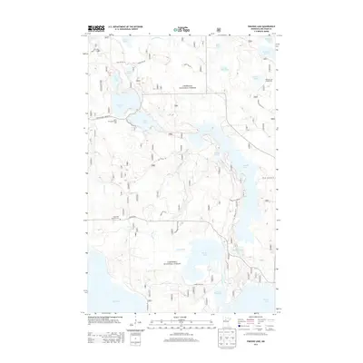
2013 Map of Pimushe Lake
USGS Topo · Published 2013About this map
The Chippewa National Forest encompasses this water-dominant landscape in northern Minnesota, where the N Turtle River and Turtle River connect a complex chain of glacial lakes. The sprawling reach of Pimushe Lake and the circular basins of N Twin Lake and S Twin Lake define the central terrain. While primarily a wilderness area, the map reveals localized infrastructure for recreation and community history, including the Webster Lake Campground and the North Twin Lake Picnic Area. Genealogists and local historians can locate the Sugar Bush Township Cem situated near the intersection of Hales Rd NE and Turtle River Lake Rd NE. This 2013 data provides a modern look at the forest's secondary road network, such as Scenic Hwy NE and Birchmont Beach Rd NE, as they weave through the wetlands and timber of the Northwoods.
Find a feature on this map
38 named features on this map. Tap any name to fly to it.
Don’t see what you’re looking for? This feature index may not catch every label — zoom into the map to look around manually.
Map Details
Editions of this 2013 Pimushe Lake Map
This is the sole edition of this map. No revisions or reprints were ever made.
Other maps of this area

1919 · Rosy
USGS Topo · 1:62,500

1954 · Bemidji
USGS Topo · 1:250,000

1957 · Bemidji
USGS Topo · 1:250,000

1958 · Bemidji
USGS Topo · 1:250,000

1971 · Gimmer Lake
USGS Topo · 1:24,000

1971 · Decker Lake
USGS Topo · 1:24,000

1971 · Pennington
USGS Topo · 1:24,000
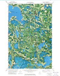
1972 · Blackduck
USGS Topo · 1:24,000

1972 · Turtle River Lake
USGS Topo · 1:24,000
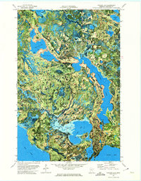
1972 · Pimushe Lake
USGS Topo · 1:24,000