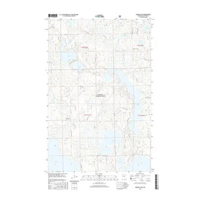
2016 Map of Pimushe Lake
USGS Topo · Published 2016About this map
The Chippewa National Forest encompasses this water-rich portion of Beltrami County, defined by a complex network of glacial lakes and river systems. The elongated Pimushe Lake dominates the eastern half of the map, while the Turtle River and its northern branch, the N Turtle River, wind through a landscape of wetlands and dense forest cover. This environment is characterized by large, interconnected bodies of water such as Big Rice Lake, Webster Lake, and Drury Lake, which likely historically supported wild rice harvesting and seasonal timber activities.
Find a feature on this map
43 named features on this map. Tap any name to fly to it.
Don’t see what you’re looking for? This feature index may not catch every label — zoom into the map to look around manually.
Map Details
Editions of this 2016 Pimushe Lake Map
This is the sole edition of this map. No revisions or reprints were ever made.
Other maps of this area

1919 · Rosy
USGS Topo · 1:62,500

1954 · Bemidji
USGS Topo · 1:250,000

1957 · Bemidji
USGS Topo · 1:250,000

1958 · Bemidji
USGS Topo · 1:250,000

1971 · Gimmer Lake
USGS Topo · 1:24,000

1971 · Decker Lake
USGS Topo · 1:24,000

1971 · Pennington
USGS Topo · 1:24,000
1972 · Blackduck
USGS Topo · 1:24,000

1972 · Turtle River Lake
USGS Topo · 1:24,000
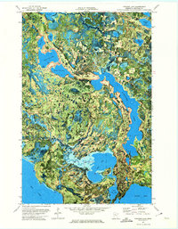
1972 · Pimushe Lake
USGS Topo · 1:24,000