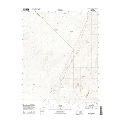
2015 Map of Pinalito Canyon
USGS Topo · Published 2015About this map
San Lorenzo Cr meanders through the southern portion of this landscape where the boundary between Monterey County and San Benito County follows the rugged ridgelines. The area is defined by a dense network of drainage systems, including Pinalito Canyon and Black Canyon, which carve through the terrain toward the valley floor. Bitterwater Rd and King City Rd serve as the primary transit corridors, threading between the hills and providing access to the localized flatlands of Becker Valley. This 2015 survey illustrates a sparsely populated region of California where the natural topography dictates the placement of infrastructure, with many canyons such as Agua Grande Canyon and Cherry Canyon remaining largely untouched by modern development.
Find a feature on this map
16 named features on this map. Tap any name to fly to it.
Don’t see what you’re looking for? This feature index may not catch every label — zoom into the map to look around manually.
Map Details
Editions of this 2015 Pinalito Canyon Map
This is the sole edition of this map. No revisions or reprints were ever made.
Other maps of this area

1912 · Metz
USGS Topo · 1:31,680

1915 · Priest Valley
USGS Topo · 1:125,000

1919 · King City
USGS Topo · 1:62,500

1921 · Metz
USGS Topo · 1:62,500

1939 · King City
USGS Topo · 1:62,500

1940 · Metz
USGS Topo · 1:62,500

1941 · San Ardo
USGS Topo · 1:62,500

1943 · San Ardo
USGS Topo · 1:62,500

1943 · Hernandez Valley
USGS Topo · 1:62,500

1944 · Hernandez Valley
USGS Topo · 1:62,500