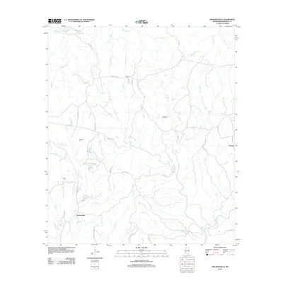
2012 Map of Pinckneyville
USGS Topo · Published 2012About this map
Pinckneyville and the surrounding Wilkinson County landscape are defined by a complex network of waterways and plantation history. The map traces the winding course of Little Bayou Sara and Bayou Sara as they drain the southern territory, while the northern reaches are fed by Yamacrow Cr and Fountainbleau Cr. Family history is deeply rooted here, evidenced by several scattered burial grounds including Woodstock Cem, Grimes Cem, and Arcole Cem.
Find a feature on this map
61 named features on this map. Tap any name to fly to it.
Don’t see what you’re looking for? This feature index may not catch every label — zoom into the map to look around manually.
Map Details
Editions of this 2012 Pinckneyville Map
This is the sole edition of this map. No revisions or reprints were ever made.
Other maps of this area

1906 · Bayou Sara
USGS Topo · 1:125,000

1936 · Woodville
USGS Topo · 1:62,500

1939 · St. Francisville
USGS Topo · 1:62,500

1939 · Artonish
USGS Topo · 1:62,500

1941 · Batchelor
USGS Topo · 1:62,500

1953 · Natchez
USGS Topo · 1:250,000

1954 · Artonish
USGS Topo · 1:62,500

1954 · Baton Rouge
USGS Topo · 1:250,000

1955 · Artonish
USGS Topo · 1:62,500

1955 · Batchelor
USGS Topo · 1:62,500