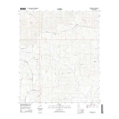
2015 Map of Pinckneyville
USGS Topo · Published 2015About this map
Pinckneyville and the settlement of Donegal anchor this corner of Wilkinson County, situated within a landscape defined by an intricate network of creeks and old plantation boundaries. The territory is deeply etched by watercourses like Little Bayou Sara, Tilseys Creek, and Hooks Creek, which drain toward the larger Bayou Sara to the south. Local history is preserved in small family and community burial grounds, including Arcole Cem, Woodstock Cem, and Grimes Cem, scattered across the rolling terrain.
Find a feature on this map
52 named features on this map. Tap any name to fly to it.
Don’t see what you’re looking for? This feature index may not catch every label — zoom into the map to look around manually.
Map Details
Editions of this 2015 Pinckneyville Map
This is the sole edition of this map. No revisions or reprints were ever made.
Other maps of this area

1906 · Bayou Sara
USGS Topo · 1:125,000

1936 · Woodville
USGS Topo · 1:62,500

1939 · St. Francisville
USGS Topo · 1:62,500

1939 · Artonish
USGS Topo · 1:62,500

1941 · Batchelor
USGS Topo · 1:62,500

1953 · Natchez
USGS Topo · 1:250,000

1954 · Artonish
USGS Topo · 1:62,500

1954 · Baton Rouge
USGS Topo · 1:250,000

1955 · Artonish
USGS Topo · 1:62,500

1955 · Batchelor
USGS Topo · 1:62,500