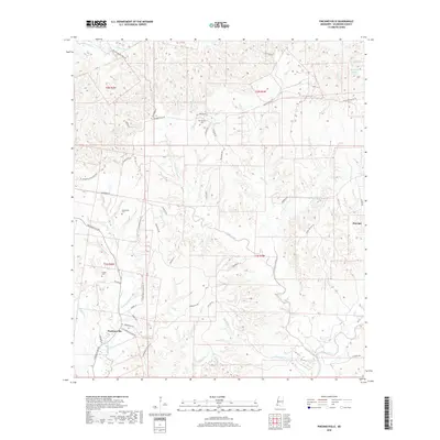
2018 Map of Pinckneyville
USGS Topo · Published 2018About this map
Pinckneyville and the nearby settlement of Donegal anchor this portion of Wilkinson County, where the landscape is defined by the winding drainages of Bayou Sara and its numerous tributaries. The geography reflects a legacy of large landholdings, evidenced by names like Cold Spring Plantation, Greenwood Plantation, and the roadway leading to Woodstock Plantation Ln. These agrarian patterns are interspersed with significant family and community markers, including Grimes Cem, Woodstock Cem, and Arcole Cem.
Find a feature on this map
64 named features on this map. Tap any name to fly to it.
Don’t see what you’re looking for? This feature index may not catch every label — zoom into the map to look around manually.
Map Details
Editions of this 2018 Pinckneyville Map
This is the sole edition of this map. No revisions or reprints were ever made.
Other maps of this area

1906 · Bayou Sara
USGS Topo · 1:125,000

1936 · Woodville
USGS Topo · 1:62,500

1939 · St. Francisville
USGS Topo · 1:62,500

1939 · Artonish
USGS Topo · 1:62,500

1941 · Batchelor
USGS Topo · 1:62,500

1953 · Natchez
USGS Topo · 1:250,000

1954 · Artonish
USGS Topo · 1:62,500

1954 · Baton Rouge
USGS Topo · 1:250,000

1955 · Artonish
USGS Topo · 1:62,500

1955 · Batchelor
USGS Topo · 1:62,500