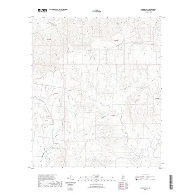
2020 Map of Pinckneyville
USGS Topo · Published 2020About this map
Pinckneyville and Donegal anchor this landscape in southwest Mississippi, where the terrain is defined by a dense network of drainages feeding into Bayou Sara and its various forks. The map reveals a deep-rooted agricultural and social history, preserved through cemetery sites like Grimes Cem, Woodstock Cem, and Arcole Cem. Private land patterns are further reflected in the naming of rural corridors, including Woodstock Plantation Ln and Greenwood Plantation Ln, which suggest the historic estate boundaries that shaped this part of Wilkinson County.
Find a feature on this map
63 named features on this map. Tap any name to fly to it.
Don’t see what you’re looking for? This feature index may not catch every label — zoom into the map to look around manually.
Map Details
Editions of this 2020 Pinckneyville Map
This is the sole edition of this map. No revisions or reprints were ever made.
Other maps of this area

1906 · Bayou Sara
USGS Topo · 1:125,000

1936 · Woodville
USGS Topo · 1:62,500

1939 · St. Francisville
USGS Topo · 1:62,500

1939 · Artonish
USGS Topo · 1:62,500

1941 · Batchelor
USGS Topo · 1:62,500

1953 · Natchez
USGS Topo · 1:250,000

1954 · Artonish
USGS Topo · 1:62,500

1954 · Baton Rouge
USGS Topo · 1:250,000

1955 · Artonish
USGS Topo · 1:62,500

1955 · Batchelor
USGS Topo · 1:62,500