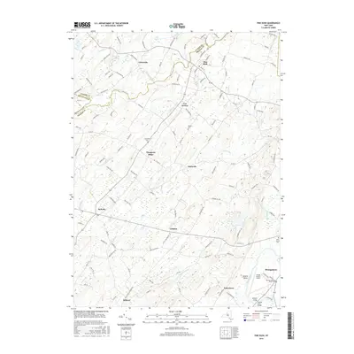
2016 Map of Pine Bush
USGS Topo · Published 2016About this map
Pine Bush sits at the nexus of several small settlements and natural watercourses where the borders of Ulster, Orange, and Sullivan counties converge. The drainage of the Shawangunk Kill and the Dwaar Kill defines the local topography, creating a series of marshes and stream beds that have historically shaped the layout of local roads and farmsteads. To the south, the Wallkill River flows toward the village of Montgomery, passing the Orange County Airport.
Find a feature on this map
126 named features on this map. Tap any name to fly to it.
Don’t see what you’re looking for? This feature index may not catch every label — zoom into the map to look around manually.
Map Details
Editions of this 2016 Pine Bush Map
This is the sole edition of this map. No revisions or reprints were ever made.
Other maps of this area

1902 · Schunemunk
USGS Topo · 1:62,500

1903 · Newburg
USGS Topo · 1:62,500

1904 · Ellenville
USGS Topo · 1:62,500

1906 · Ellenville
USGS Topo · 1:62,500

1906 · Goshen
USGS Topo · 1:62,500

1908 · Goshen
USGS Topo · 1:62,500

1930 · Schunemunk
USGS Topo · 1:48,000

1935 · Schunemunk
USGS Topo · 1:62,500

1938 · Goshen
USGS Topo · 1:62,500

1942 · Goshen
USGS Topo · 1:24,000