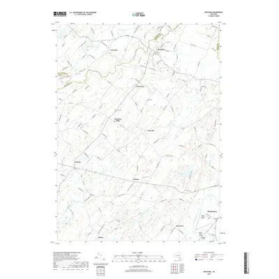
2019 Map of Pine Bush
USGS Topo · Published 2019About this map
Pine Bush and the surrounding agricultural hamlets in western Orange and Ulster Counties are defined by a complex network of waterways that flow toward the Wallkill River. The landscape is etched by the winding paths of the Shawangunk Kill, Dwaar Kill, and Verkeerder Kill, creating a terrain characterized by wetlands like Pine Swamp and Cedar Swamp. Small settlements such as Thompson Ridge, Bullville, and Collabar serve as local hubs, connected by historic roads that trace the undulating topography of the region. Family history and local heritage are preserved in numerous landmarks, including the Brick Church Cemetery near Montgomery and the Howell Cemetery further north. This 2019 survey captures the modern utility of the area, featuring the Orange County Airport and essential crossings like Bodine's Bridge, while illustrating how the original settlement patterns remain centered on the valley's distinct kills and creeks.
Find a feature on this map
132 named features on this map. Tap any name to fly to it.
Don’t see what you’re looking for? This feature index may not catch every label — zoom into the map to look around manually.
Map Details
Editions of this 2019 Pine Bush Map
This is the sole edition of this map. No revisions or reprints were ever made.
Other maps of this area

1902 · Schunemunk
USGS Topo · 1:62,500

1903 · Newburg
USGS Topo · 1:62,500

1904 · Ellenville
USGS Topo · 1:62,500

1906 · Ellenville
USGS Topo · 1:62,500

1906 · Goshen
USGS Topo · 1:62,500

1908 · Goshen
USGS Topo · 1:62,500

1930 · Schunemunk
USGS Topo · 1:48,000

1935 · Schunemunk
USGS Topo · 1:62,500

1938 · Goshen
USGS Topo · 1:62,500

1942 · Goshen
USGS Topo · 1:24,000