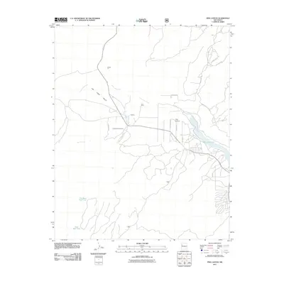
2011 Map of Pine Canyon
USGS Topo · Published 2011About this map
Las Tusas Valley defines the western landscape of this New Mexico quadrangle, where high-desert drainages like Cottonwood Creek and Sawyer Creek carve through the terrain. The settlement pattern is sparse, characterized by isolated outposts and specialized sites such as Cottonwood Gulch Camp and Ford Ranch. Infrastructure reflects the region's rural and utilitarian nature, ranging from the industrial Kimbler Pit to vital water management features like the Tuas Mesa Stock Tank and the expansive Bluewater Lake in the east.
Find a feature on this map
22 named features on this map. Tap any name to fly to it.
Don’t see what you’re looking for? This feature index may not catch every label — zoom into the map to look around manually.
Map Details
Editions of this 2011 Pine Canyon Map
This is the sole edition of this map. No revisions or reprints were ever made.
Other maps of this area

1886 · Wingate
USGS Topo · 1:250,000

1892 · Wingate
USGS Topo · 1:250,000

1951 · Mt Sedgwick
USGS Topo · 1:24,000

1952 · Post Office Flat
USGS Topo · 1:24,000

1954 · Gallup
USGS Topo · 1:250,000

1958 · Gallup
USGS Topo · 1:250,000

1959 · Gallup
USGS Topo · 1:250,000

1961 · Cottonwood Canyon
USGS Topo · 1:24,000

1962 · Gallup
USGS Topo · 1:250,000

1962 · Continental Divide
USGS Topo · 1:24,000