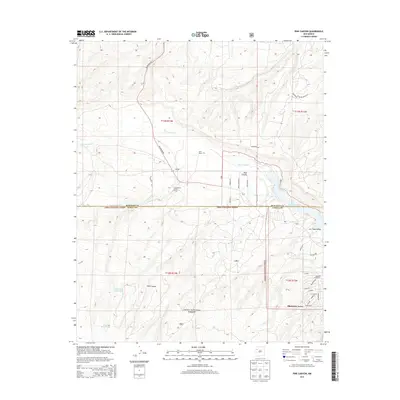
2013 Map of Pine Canyon
USGS Topo · Published 2013About this map
Cibola National Forest defines the southern half of this landscape, where the high-altitude terrain of the Zuni Mountains transitions toward the Bluewater Lake basin. This 2013 survey illustrates a region shaped by ranching and seasonal habitation, evidenced by names like Ford Ranch, Stallings, and the Cottonwood Gulch Camp. The geography is characterized by deep drainage systems such as Pine Canyon and Las Tusas Valley, which feed into Cottonwood Cr and Sawyer Cr.
Find a feature on this map
38 named features on this map. Tap any name to fly to it.
Don’t see what you’re looking for? This feature index may not catch every label — zoom into the map to look around manually.
Map Details
Editions of this 2013 Pine Canyon Map
This is the sole edition of this map. No revisions or reprints were ever made.
Other maps of this area

1886 · Wingate
USGS Topo · 1:250,000

1892 · Wingate
USGS Topo · 1:250,000

1951 · Mt Sedgwick
USGS Topo · 1:24,000

1952 · Post Office Flat
USGS Topo · 1:24,000

1954 · Gallup
USGS Topo · 1:250,000

1958 · Gallup
USGS Topo · 1:250,000

1959 · Gallup
USGS Topo · 1:250,000

1961 · Cottonwood Canyon
USGS Topo · 1:24,000

1962 · Gallup
USGS Topo · 1:250,000

1962 · Continental Divide
USGS Topo · 1:24,000