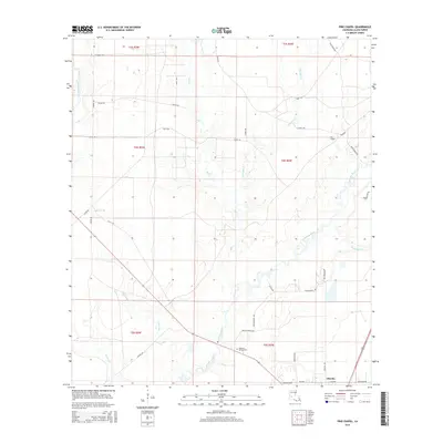
2015 Map of Pine Chapel
USGS Topo · Published 2015About this map
The Calcasieu River meanders through this portion of Allen Parish, creating a complex network of wetlands and tributaries such as Chinquapin Cr and Long Gully. In the southern reaches of the map, the town of Oberlin serves as a local hub, where a grid of streets including 9th Ave and Garcille Rd meets the outlying rural landscape.
Find a feature on this map
41 named features on this map. Tap any name to fly to it.
Don’t see what you’re looking for? This feature index may not catch every label — zoom into the map to look around manually.
Map Details
Editions of this 2015 Pine Chapel Map
This is the sole edition of this map. No revisions or reprints were ever made.
Other maps of this area

1935 · Mittie
USGS Topo · 1:31,680

1935 · Oakdale
USGS Topo · 1:31,680

1942 · Oakdale
USGS Topo · 1:62,500

1947 · Foley
USGS Topo · 1:31,680

1947 · Oberlin
USGS Topo · 1:31,680

1947 · Pine Chapel
USGS Topo · 1:31,680

1947 · Le Blanc
USGS Topo · 1:31,680

1947 · Elizabeth
USGS Topo · 1:31,680

1947 · Grant
USGS Topo · 1:31,680

1948 · Grant
USGS Topo · 1:24,000