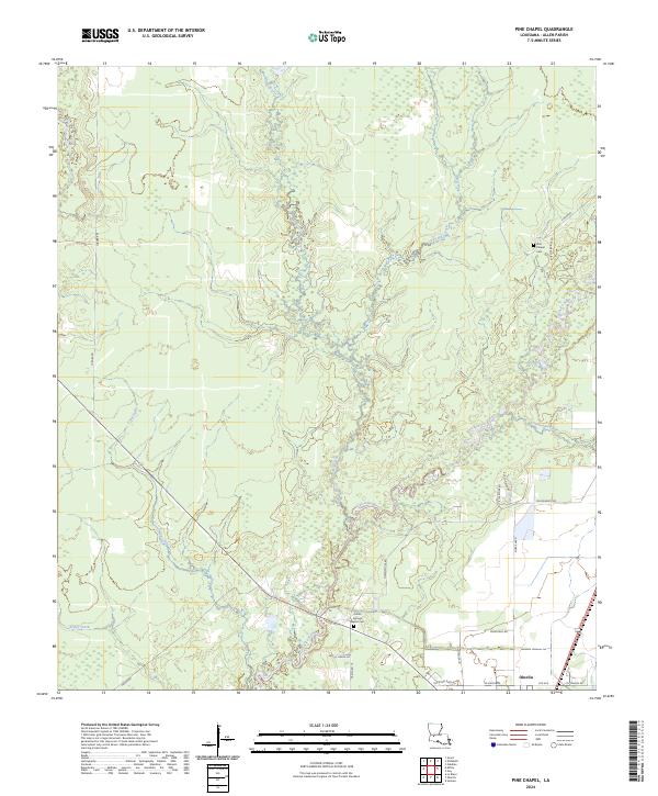
2024 Map of Pine Chapel
USGS Topo · Published 2024About this map
Oberlin serves as the primary hub in this portion of Allen Parish, situated at the edge of a landscape defined by the winding course of the Calcasieu River. The river and its numerous tributaries, including Mill Creek, Little Mill Creek, and Chinquapin Creek, create a complex network of waterways and wetlands that dominate the central and northern sections of the map. This geography illustrates the historical importance of water drainage and access in Southwest Louisiana, where rural roads like Reeds Bridge Rd and Veville Vizena Rd navigate around these natural breaks.
Find a feature on this map
33 named features on this map. Tap any name to fly to it.
Don’t see what you’re looking for? This feature index may not catch every label — zoom into the map to look around manually.
Map Details
Editions of this 2024 Pine Chapel Map
This is the sole edition of this map. No revisions or reprints were ever made.
Other maps of this area

1935 · Mittie
USGS Topo · 1:31,680

1935 · Oakdale
USGS Topo · 1:31,680

1942 · Oakdale
USGS Topo · 1:62,500

1947 · Foley
USGS Topo · 1:31,680

1947 · Oberlin
USGS Topo · 1:31,680

1947 · Pine Chapel
USGS Topo · 1:31,680

1947 · Le Blanc
USGS Topo · 1:31,680

1947 · Elizabeth
USGS Topo · 1:31,680

1947 · Grant
USGS Topo · 1:31,680

1948 · Grant
USGS Topo · 1:24,000