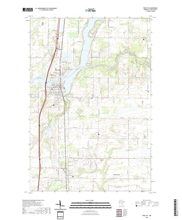
2022 Map of Pine City
USGS Topo · Published 2022About this map
Pine City serves as a focal point along the shores of Cross Lake, where the Snake River continues its course toward the east. This modern survey illustrates a landscape deeply connected to its river system and the educational presence of Pine Technical and Community College. The township is defined by a series of long-standing community landmarks, including several burial grounds such as Hustletown Union Cem and the Czech National Cem, reflecting the diverse heritage of the early settlers. To the south, the settlement of Rock Creek is situated near the namesake waterway and Rock Lake, with the surrounding rural terrain crisscrossed by routes like Co HWY 61 and the winding Snake River Trl. The map details a transition from concentrated town centers to a grid of agricultural land and wooded pockets typical of this region of Minnesota.
Find a feature on this map
50 named features on this map. Tap any name to fly to it.
Don’t see what you’re looking for? This feature index may not catch every label — zoom into the map to look around manually.
Map Details
Editions of this 2022 Pine City Map
This is the sole edition of this map. No revisions or reprints were ever made.
Other maps of this area

1950 · Rush City
USGS Topo · 1:48,000

1953 · Stillwater
USGS Topo · 1:250,000

1955 · Rush City
USGS Topo · 1:62,500

1955 · Stillwater
USGS Topo · 1:250,000

1958 · Stillwater
USGS Topo · 1:250,000

1961 · Cambridge
USGS Topo · 1:62,500

1961 · Brook Park
USGS Topo · 1:62,500

1961 · Pine City
USGS Topo · 1:62,500

1965 · Stillwater
USGS Topo · 1:250,000

1975 · Stillwater
USGS Topo · 1:250,000
Featured Places
- Pine City, MN
- Rock Creek, MN
- Pine City Township, MN
- Pokegama Township, MN
- Pine Terrace Mobile Home Park, Pine City