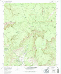
1973 Map of Pine
USGS Topo · Published 1985About this map
The Mogollon Rim dominates this 1970s landscape, serving as a dramatic natural divide between the Coconino National Forest and Tonto National Forest. In the valley below, the settlements of Pine and Strawberry are shown as they appeared before modern expansion, connected by the Zane Grey Highway. The map captures a high-country environment defined by a dense network of springs and tanks essential for mountain life, including Dripping Springs, Baker Spring, and the isolated Waters Tank.
Find a feature on this map
52 named features on this map. Tap any name to fly to it.
Don’t see what you’re looking for? This feature index may not catch every label — zoom into the map to look around manually.
Map Details
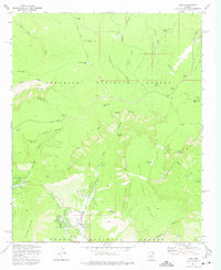
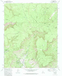
Editions of this 1973 Pine Map
3 editions found
Other maps of this area

1887 · Verde
USGS Topo · 1:250,000

1892 · Verde
USGS Topo · 1:250,000

1923 · Camp Verde
USGS Topo · 1:125,000

1929 · Turret Peak
USGS Topo · 1:125,000

1932 · Camp Verde
USGS Topo · 1:125,000

1933 · Turret Peak
USGS Topo · 1:125,000

1934 · Pine
USGS Topo · 1:62,500

1936 · Camp Verde
USGS Topo · 1:125,000

1940 · Pine
USGS Topo · 1:62,500

1952 · Pine
USGS Topo · 1:62,500