
1952 Map of Pine
USGS Topo · Published 1956About this map
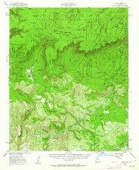
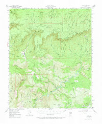
Mogollon Rim serves as the dramatic topographical divide on this Arizona survey, marking the jagged boundary where the high plateau of the Coconino National Forest drops away into the lower reaches of the Tonto National Forest. In the valley below the rim, the early mountain settlements of Pine and Strawberry are captured at mid-century, connected by simple roads and surrounded by a landscape defined by ranching and resource management. The presence of the High Line Trail and the Natural Bridge suggests an area already established as a destination for outdoor travel and exploration.
Find a feature on this map
98 named features on this map. Tap any name to fly to it.
Don’t see what you’re looking for? This feature index may not catch every label — zoom into the map to look around manually.
Map Details
Editions of this 1952 Pine Map
3 editions found
Other maps of this area

1887 · Verde
USGS Topo · 1:250,000

1892 · Verde
USGS Topo · 1:250,000

1923 · Camp Verde
USGS Topo · 1:125,000

1929 · Turret Peak
USGS Topo · 1:125,000

1932 · Camp Verde
USGS Topo · 1:125,000

1933 · Turret Peak
USGS Topo · 1:125,000

1934 · Pine
USGS Topo · 1:62,500

1934 · Promontory Butte
USGS Topo · 1:62,500

1936 · Camp Verde
USGS Topo · 1:125,000

1936 · Payson
USGS Topo · 1:48,000