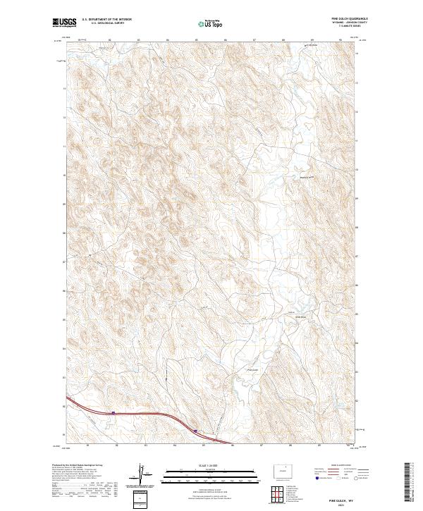
2021 Map of Pine Gulch
USGS Topo · Published 2021About this map
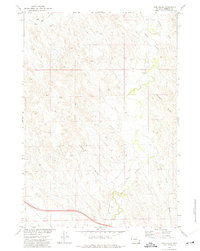
Crazy Woman Cr winds through this high-plains landscape in Johnson County, providing the primary drainage for a series of topographic depressions and erosion features. The terrain is defined by its namesake Pine Gulch and several significant draws, including Meadow Draw and Grub Draw, which cut through the landscape toward the eastern edge of the quadrangle. In the southeast corner, the presence of Heather Reservoir indicates managed water resources in this arid environment, while the northern reaches are marked by McCray Draw.
Find a feature on this map
19 named features on this map. Tap any name to fly to it.
Don’t see what you’re looking for? This feature index may not catch every label — zoom into the map to look around manually.
Map Details
Editions of this 2021 Pine Gulch Map
This is the sole edition of this map. No revisions or reprints were ever made.
Other maps of this area

1900 · Fort McKinney
USGS Topo · 1:125,000

1903 · Fort McKinney
USGS Topo · 1:125,000

1955 · Sheridan
USGS Topo · 1:250,000

1958 · Sheridan
USGS Topo · 1:250,000

1962 · Sheridan
USGS Topo · 1:250,000

1970 · Buffalo NE
USGS Topo · 1:24,000
1970 · Buffalo SE
USGS Topo · 1:24,000
1972 · Crazy Woman Ranch
USGS Topo · 1:24,000
1972 · Ploessers Draw
USGS Topo · 1:24,000
1972 · Pine Gulch
USGS Topo · 1:24,000