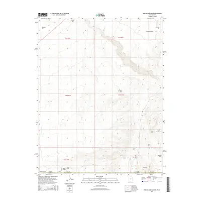
2014 Map of Pine Hollow Canyon
USGS Topo · Published 2014About this map
Kaibab Plateau and the deeply dissected landscape of the Arizona-Utah border region define this topographic study. The terrain is marked by a complex system of drainage and erosion, including the winding Pine Hollow Canyon and the prominent ridge of the Cocks Comb. Significant elevation changes are visible across Buckskin Mtn and Fivemile Mtn, which overlook the expansive Coyote Valley.
Find a feature on this map
27 named features on this map. Tap any name to fly to it.
Don’t see what you’re looking for? This feature index may not catch every label — zoom into the map to look around manually.
Map Details
Editions of this 2014 Pine Hollow Canyon Map
This is the sole edition of this map. No revisions or reprints were ever made.
Other maps of this area

1886 · Kanab
USGS Topo · 1:250,000

1886 · Escalante
USGS Topo · 1:250,000

1886 · Echo Cliffs
USGS Topo · 1:250,000

1886 · Kaibab
USGS Topo · 1:250,000

1891 · Echo Cliffs
USGS Topo · 1:250,000

1953 · Cedar City
USGS Topo · 1:250,000

1953 · Grand Canyon
USGS Topo · 1:250,000

1954 · Buckskin Gulch NW
USGS Topo · 1:24,000

1954 · Buckskin Gulch NE
USGS Topo · 1:24,000

1954 · Buckskin Gulch SE
USGS Topo · 1:24,000