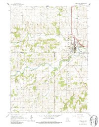
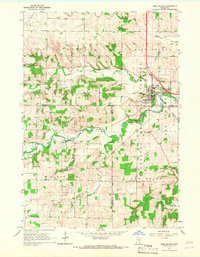
1965 Map of Pine Island
USGS Topo · Published 1986About this map
Pine Island sits at the convergence of several townships and counties, serving as a regional hub where the Middle Fork Zumbro River and North Branch wind through the landscape. The mid-1960s geography is defined by the Chicago and North Western railroad corridor and a series of agricultural and forestry boundaries, including the Minnesota State Forest. Evidence of rural community life is scattered throughout the neighboring townships of Roscoe, Milton, and New Haven, where the presence of the Townhall, County Line Cem, and St Michael Cem point to established local heritage.
Find a feature on this map
27 named features on this map. Tap any name to fly to it.
Don’t see what you’re looking for? This feature index may not catch every label — zoom into the map to look around manually.
Map Details
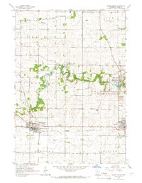
Editions of this 1965 Pine Island Map
2 editions found
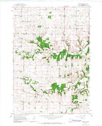
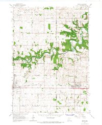
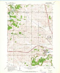
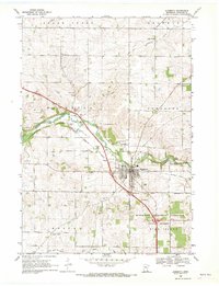
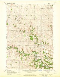
Other maps of this area

1953 · Saint Paul
USGS Topo · 1:250,000

1959 · Saint Paul
USGS Topo · 1:250,000
1965 · Dodge Center
USGS Topo · 1:24,000
1965 · Concord
USGS Topo · 1:24,000

1965 · Oronoco
USGS Topo · 1:24,000
1965 · Byron
USGS Topo · 1:24,000
1965 · Pine Island
USGS Topo · 1:24,000
1966 · Douglas
USGS Topo · 1:24,000
1968 · Zumbrota
USGS Topo · 1:24,000
1968 · Mazeppa
USGS Topo · 1:24,000