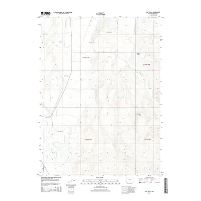
2015 Map of Pine Knoll
USGS Topo · Published 2015About this map
Pine Knoll rises as a prominent landmark in this high-plains landscape of Uinta County, where a complex network of man-made waterways supports the arid terrain. The map details an extensive irrigation system essential to ranching and local agriculture, including the Hilliard Westside Canal, Hilliard E Fork Canal, Bear Canal, and the Lamon Ditch. These engineering works traverse Hilliard Flat, connecting various water storage sites such as Martin Reservoir, Massae Reservoir, and Austin Reservoir.
Find a feature on this map
35 named features on this map. Tap any name to fly to it.
Don’t see what you’re looking for? This feature index may not catch every label — zoom into the map to look around manually.
Map Details
Editions of this 2015 Pine Knoll Map
This is the sole edition of this map. No revisions or reprints were ever made.
Other maps of this area

1885 · Uinta
USGS Topo · 1:250,000

1901 · Hayden Peak
USGS Topo · 1:125,000

1903 · Hayden Peak
USGS Topo · 1:125,000

1954 · Salt Lake City
USGS Topo · 1:250,000

1954 · Ogden
USGS Topo · 1:250,000

1958 · Ogden
USGS Topo · 1:250,000

1958 · Salt Lake City
USGS Topo · 1:250,000

1960 · Ogden
USGS Topo · 1:250,000

1960 · Salt Lake City
USGS Topo · 1:250,000

1965 · Myers Reservoir
USGS Topo · 1:24,000