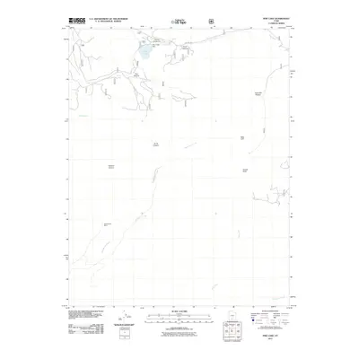
2011 Map of Pine Lake
USGS Topo · Published 2011About this map
Shakespeare Mine sits near the southwestern edge of this high-altitude landscape, illustrating the history of resource extraction in Garfield County. The terrain is defined by dramatic elevation changes, notably the Table Cliff Plateau and the prominent Powell Point that overlooks a network of canyons including Pole Canyon and Burro Canyon. Water management is central to the area's geography, evidenced by the Pine Creek Dam creating Pine Lake, which serves as a hub for the Pine Lake Campground. A series of natural and man-made water features, from Paradise Spring to the Lossee Canal, trace the movement of water across this complex topography, while drainage systems like Henderson Creek and Clay Creek carve through the plateau.
Find a feature on this map
18 named features on this map. Tap any name to fly to it.
Don’t see what you’re looking for? This feature index may not catch every label — zoom into the map to look around manually.
Map Details
Editions of this 2011 Pine Lake Map
This is the sole edition of this map. No revisions or reprints were ever made.
Other maps of this area

1886 · Kanab
USGS Topo · 1:250,000

1886 · Escalante
USGS Topo · 1:250,000

1953 · Cedar City
USGS Topo · 1:250,000

1956 · Escalante
USGS Topo · 1:250,000

1958 · Cedar City
USGS Topo · 1:250,000

1960 · Escalante
USGS Topo · 1:250,000

1962 · Cedar City
USGS Topo · 1:250,000

1964 · Griffin Point
USGS Topo · 1:24,000

1964 · Canaan Peak
USGS Topo · 1:24,000

1964 · Henrieville
USGS Topo · 1:24,000