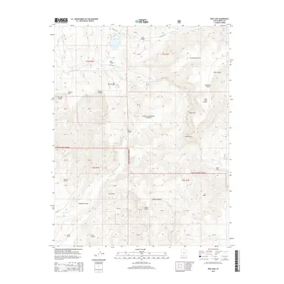
2014 Map of Pine Lake
USGS Topo · Published 2014About this map
Pine Lake serves as a focal point in this high-altitude landscape within the Dixie National Forest of Garfield County. The terrain is defined by dramatic verticality, rising from the intricate drainage of Henderson Cr to the massive Table Cliff Plateau and the prominent Powell Point. This area reflects the complex geomorphology of the Escalante Mountains, where deep incisions like Henderson Canyon and Pole Canyon carve through the plateau edges. The map captures a high-desert watershed punctuated by isolated water sources such as Burro Spring and Paradise Spring. To the south, the strikingly named badlands of The Blues transition toward Henrieville Cr, illustrating the rugged erosional patterns characteristic of the southern Utah wilderness before it reaches the lower valleys.
Find a feature on this map
49 named features on this map. Tap any name to fly to it.
Don’t see what you’re looking for? This feature index may not catch every label — zoom into the map to look around manually.
Map Details
Editions of this 2014 Pine Lake Map
This is the sole edition of this map. No revisions or reprints were ever made.
Other maps of this area

1886 · Kanab
USGS Topo · 1:250,000

1886 · Escalante
USGS Topo · 1:250,000

1953 · Cedar City
USGS Topo · 1:250,000

1956 · Escalante
USGS Topo · 1:250,000

1958 · Cedar City
USGS Topo · 1:250,000

1960 · Escalante
USGS Topo · 1:250,000

1962 · Cedar City
USGS Topo · 1:250,000

1964 · Griffin Point
USGS Topo · 1:24,000

1964 · Canaan Peak
USGS Topo · 1:24,000

1964 · Henrieville
USGS Topo · 1:24,000