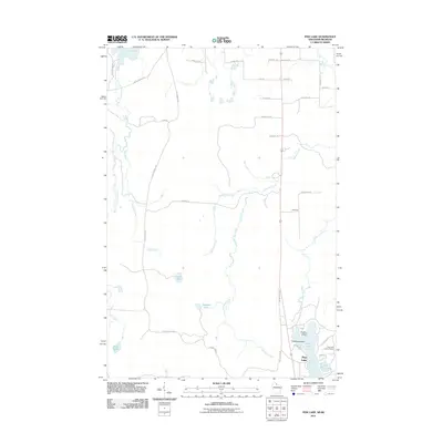
2011 Map of Pine Lake
USGS Topo · Published 2011About this map
The Montreal River and its varied tributaries, including the West Fork Montreal River and Laymans Creek, define the north-central Wisconsin landscape in this 2011 survey. In the southern reaches, Pine Lake serves as a primary geographic anchor, featuring Anchor Island and Paradise Island along its shores. This area is characterized by a dense network of local roads such as Spring Camp Rd and Falls Rd that provide access to more remote water bodies like Obadash Lake and Lake One.
Find a feature on this map
43 named features on this map. Tap any name to fly to it.
Don’t see what you’re looking for? This feature index may not catch every label — zoom into the map to look around manually.
Map Details
Editions of this 2011 Pine Lake Map
This is the sole edition of this map. No revisions or reprints were ever made.
Other maps of this area

1940 · Mercer
USGS Topo · 1:48,000

1940 · Butternut
USGS Topo · 1:48,000

1940 · Upson
USGS Topo · 1:48,000

1943 · Upson
USGS Topo · 1:48,000

1943 · Ironwood
USGS Topo · 1:48,000

1945 · Mercer
USGS Topo · 1:48,000

1947 · Butternut
USGS Topo · 1:48,000

1947 · Mercer
USGS Topo · 1:48,000

1950 · Butternut
USGS Topo · 1:48,000

1953 · Ashland
USGS Topo · 1:250,000