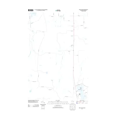
2013 Map of Pine Lake
USGS Topo · Published 2013About this map
The West Fork Montreal River carves through this northwoods landscape, punctuated by the Spring Camp Falls and feeding into the larger waters of the Gile Flowage. The terrain is defined by its hydrography, with numerous isolated water bodies like Obadash Lake, Lake One, and Mud Lake scattered throughout the glacial topography. A network of rural routes, including Laymans Rd and S Island Lake Rd, provides access to these timberlands and water resources.
Find a feature on this map
46 named features on this map. Tap any name to fly to it.
Don’t see what you’re looking for? This feature index may not catch every label — zoom into the map to look around manually.
Map Details
Editions of this 2013 Pine Lake Map
This is the sole edition of this map. No revisions or reprints were ever made.
Other maps of this area

1940 · Mercer
USGS Topo · 1:48,000

1940 · Butternut
USGS Topo · 1:48,000

1940 · Upson
USGS Topo · 1:48,000

1943 · Upson
USGS Topo · 1:48,000

1943 · Ironwood
USGS Topo · 1:48,000

1945 · Mercer
USGS Topo · 1:48,000

1947 · Butternut
USGS Topo · 1:48,000

1947 · Mercer
USGS Topo · 1:48,000

1950 · Butternut
USGS Topo · 1:48,000

1953 · Ashland
USGS Topo · 1:250,000