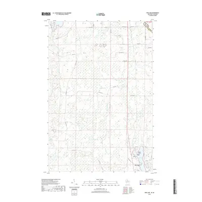
2018 Map of Pine Lake
USGS Topo · Published 2018About this map
The Montreal River defines the border between Wisconsin and Michigan in this northern lake district, where the terrain is dominated by dense wetlands and interconnected waterways. The small settlement of Pine Lake sits at the edge of its namesake water body, which features distinctive landforms like Anchor Island and Paradise Island. These islands, along with the nearby Little Pine Lake, create a concentrated area of activity in an otherwise sprawling forest and marsh landscape.
Find a feature on this map
48 named features on this map. Tap any name to fly to it.
Don’t see what you’re looking for? This feature index may not catch every label — zoom into the map to look around manually.
Map Details
Editions of this 2018 Pine Lake Map
This is the sole edition of this map. No revisions or reprints were ever made.
Other maps of this area

1940 · Mercer
USGS Topo · 1:48,000

1940 · Butternut
USGS Topo · 1:48,000

1940 · Upson
USGS Topo · 1:48,000

1943 · Upson
USGS Topo · 1:48,000

1943 · Ironwood
USGS Topo · 1:48,000

1945 · Mercer
USGS Topo · 1:48,000

1947 · Butternut
USGS Topo · 1:48,000

1947 · Mercer
USGS Topo · 1:48,000

1950 · Butternut
USGS Topo · 1:48,000

1953 · Ashland
USGS Topo · 1:250,000