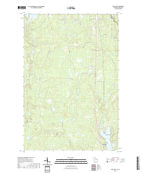
2022 Map of Pine Lake
USGS Topo · Published 2022About this map
The Montreal River and its West Fork Montreal River define this wet, timbered borderland between Wisconsin and Michigan. Situated at the edge of the Iron County and Gogebic County boundary, the landscape is characterized by a dense network of marshes and isolated water bodies like Obadash Lake and Lake One. The southern portion of the map centers on the community of Pine Lake, where development is concentrated around the shores of the lake itself and neighboring Little Pine Lake.
Find a feature on this map
39 named features on this map. Tap any name to fly to it.
Don’t see what you’re looking for? This feature index may not catch every label — zoom into the map to look around manually.
Map Details
Editions of this 2022 Pine Lake Map
This is the sole edition of this map. No revisions or reprints were ever made.
Other maps of this area

1940 · Mercer
USGS Topo · 1:48,000

1940 · Butternut
USGS Topo · 1:48,000

1940 · Upson
USGS Topo · 1:48,000

1943 · Upson
USGS Topo · 1:48,000

1943 · Ironwood
USGS Topo · 1:48,000

1945 · Mercer
USGS Topo · 1:48,000

1947 · Butternut
USGS Topo · 1:48,000

1947 · Mercer
USGS Topo · 1:48,000

1950 · Butternut
USGS Topo · 1:48,000

1953 · Ashland
USGS Topo · 1:250,000