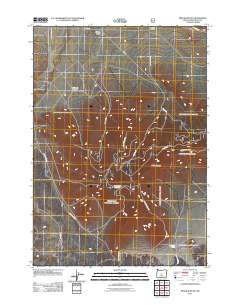
2011 Map of Pine Mountain
USGS Topo · Published 2011About this map
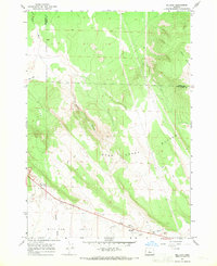
Pine Mountain Observatory crowns the high ground in this 2011 survey of the high desert landscape east of the Cascades. The map details a transition from the broad Millican Valley in the north to the uplift of Pine Mountain, where a complex network of forest and development roads, including Nat For Dev Rd 2017 and Sand Springs Rd, provides access to the terrain.
Find a feature on this map
19 named features on this map. Tap any name to fly to it.
Don’t see what you’re looking for? This feature index may not catch every label — zoom into the map to look around manually.
Map Details
Editions of this 2011 Pine Mountain Map
This is the sole edition of this map. No revisions or reprints were ever made.
Other maps of this area

1931 · Newberry Crater
USGS Topo · 1:125,000

1935 · Newberry Crater
USGS Topo · 1:125,000

1955 · Crescent
USGS Topo · 1:250,000

1957 · Crescent
USGS Topo · 1:250,000

1958 · Crescent
USGS Topo · 1:250,000

1966 · Millican SE
USGS Topo · 1:24,000
1967 · West Butte
USGS Topo · 1:24,000
1967 · Horse Ridge
USGS Topo · 1:24,000
1967 · Evans Well
USGS Topo · 1:24,000
1967 · Millican
USGS Topo · 1:24,000