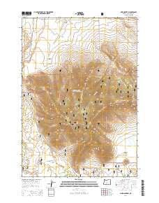
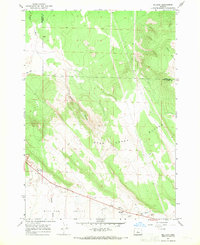
2014 Map of Pine Mountain
USGS Topo · Published 2014About this map
Pine Mountain dominates this portion of the high desert landscape, surrounded by the expansive reaches of the Deschutes National Forest. This 2014 survey documents a region defined by its water-poor basins and the infrastructure required to manage them, including Bradfish Well and Antelope Spring. The topography reveals complex drainage patterns across the Millican Valley and Kotzman Basin, with the seasonal Dry River cutting through the northeast corner. A network of Forest Service roads, such as Sand Springs Rd and Pine Mtn Rd, provides access across West Basin Canyon and through the volcanic terrain typical of Central Oregon. The map serves as a contemporary record of the land use and access routes within the Deschutes National Forest during the early 21st century.
Find a feature on this map
25 named features on this map. Tap any name to fly to it.
Don’t see what you’re looking for? This feature index may not catch every label — zoom into the map to look around manually.
Map Details
Editions of this 2014 Pine Mountain Map
This is the sole edition of this map. No revisions or reprints were ever made.
Other maps of this area

1931 · Newberry Crater
USGS Topo · 1:125,000

1935 · Newberry Crater
USGS Topo · 1:125,000

1955 · Crescent
USGS Topo · 1:250,000

1957 · Crescent
USGS Topo · 1:250,000

1958 · Crescent
USGS Topo · 1:250,000

1966 · Millican SE
USGS Topo · 1:24,000
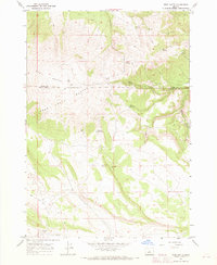
1967 · West Butte
USGS Topo · 1:24,000
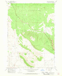
1967 · Horse Ridge
USGS Topo · 1:24,000
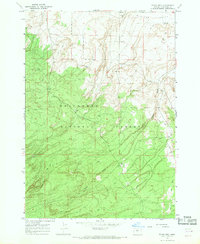
1967 · Evans Well
USGS Topo · 1:24,000
1967 · Millican
USGS Topo · 1:24,000