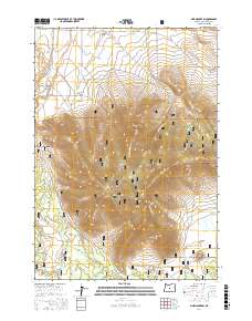
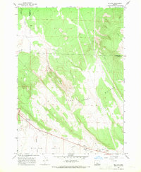
2017 Map of Pine Mountain
USGS Topo · Published 2017About this map
Pine Mtn dominates this portion of the Deschutes National Forest in central Oregon, where the high desert terrain transitions between volcanic uplands and broad basins. The landscape is marked by geological depressions like the Millican Valley and Kotzman Basin, while drainage patterns are defined by the ephemeral Tepee Draw and Dry River. Water sources are sparse but critical in this arid environment, evidenced by isolated features like Antelope Spring and Brudetich Well.
Find a feature on this map
35 named features on this map. Tap any name to fly to it.
Don’t see what you’re looking for? This feature index may not catch every label — zoom into the map to look around manually.
Map Details
Editions of this 2017 Pine Mountain Map
This is the sole edition of this map. No revisions or reprints were ever made.
Other maps of this area

1931 · Newberry Crater
USGS Topo · 1:125,000

1935 · Newberry Crater
USGS Topo · 1:125,000

1955 · Crescent
USGS Topo · 1:250,000

1957 · Crescent
USGS Topo · 1:250,000

1958 · Crescent
USGS Topo · 1:250,000

1966 · Millican SE
USGS Topo · 1:24,000
1967 · West Butte
USGS Topo · 1:24,000
1967 · Horse Ridge
USGS Topo · 1:24,000
1967 · Evans Well
USGS Topo · 1:24,000
1967 · Millican
USGS Topo · 1:24,000