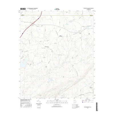
2017 Map of Pine Mountain SW
USGS Topo · Published 2017About this map
Smiths Crossroads and the surrounding Harris County countryside appear here in a recent era, defined by a mix of agricultural heritage and modern development. This landscape is characterized by its numerous family and community burial grounds, including the Old Hopewell Cem and New Hopewell Cem, alongside the Smith-Hattox Cem and Beech Springs Cem. These sites, scattered throughout the terrain, provide valuable points of reference for genealogists tracking local families in this part of Georgia.
Find a feature on this map
64 named features on this map. Tap any name to fly to it.
Don’t see what you’re looking for? This feature index may not catch every label — zoom into the map to look around manually.
Map Details
Editions of this 2017 Pine Mountain SW Map
This is the sole edition of this map. No revisions or reprints were ever made.
Other maps of this area

1907 · Talbotton
USGS Topo · 1:125,000

1907 · Opelika
USGS Topo · 1:125,000

1909 · Opelika
USGS Topo · 1:125,000

1950 · Mulberry Grove
USGS Topo · 1:24,000

1950 · Cataula
USGS Topo · 1:24,000

1950 · Ellerslie
USGS Topo · 1:62,500
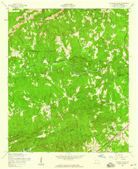
1955 · Mulberry Grove
USGS Topo · 1:24,000
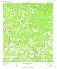
1955 · Cataula
USGS Topo · 1:24,000
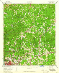
1955 · Ellerslie
USGS Topo · 1:62,500

1955 · Phenix City
USGS Topo · 1:250,000