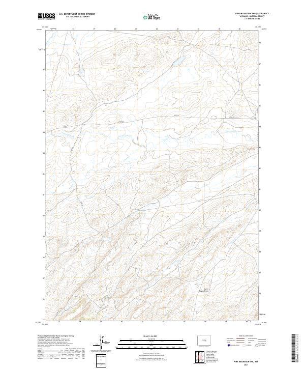
2021 Map of Pine Mountain SW
USGS Topo · Published 2021About this map
Poison Spider Creek meanders across the northern reaches of this Wyoming landscape, defining a drainage system that has long influenced movement and livestock management in this part of Natrona County. The terrain is marked by seasonal watercourses like Soap Creek and Austin Creek, which cut through the high plains topography alongside the appropriately named Burnt Wagon Draw. This 2021 update shows the modern road network, including County Road 201 and County Road 320, which provide access to the vast ranchlands and public land survey sections. The map preserves the complex township and range system, showing the intersections of t33n r85w and surrounding boundaries. This detailed topographic study records the subtle elevations and drainage patterns that have dictated human activity in this semi-arid environment since the early days of western expansion.
Find a feature on this map
13 named features on this map. Tap any name to fly to it.
Don’t see what you’re looking for? This feature index may not catch every label — zoom into the map to look around manually.
Map Details
Editions of this 2021 Pine Mountain SW Map
This is the sole edition of this map. No revisions or reprints were ever made.
Other maps of this area

1951 · Pine Mountain SW
USGS Topo · 1:24,000

1951 · Poison Spider
USGS Topo · 1:24,000

1951 · Benton Basin NE
USGS Topo · 1:24,000

1951 · Mc Cleary Reservoir
USGS Topo · 1:24,000

1951 · Square Top Butte
USGS Topo · 1:24,000

1951 · Reid Canyon
USGS Topo · 1:24,000

1955 · Casper
USGS Topo · 1:250,000

1958 · Casper
USGS Topo · 1:250,000

1959 · Gaylord Reservoir
USGS Topo · 1:24,000

1959 · Eightmile Draw
USGS Topo · 1:24,000