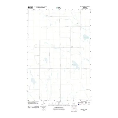
2010 Map of Pine River SW
USGS Topo · Published 2010About this map
Stony Brook and Mayo Creek define the drainage patterns of this Minnesota landscape in the early 21st century. The map reveals a rural grid of roads, such as County Hwy-17 and 37th Ave SW, connecting several small community burial grounds that serve as significant genealogical markers for the area. Local history is anchored by sites like Mayo Creek Cemetery, Lunde Cemetery, and Grace Lutheran Cemetery. Significant water bodies including Goose Lake and Upper Loon Lake are scattered across the terrain, illustrating the glacial lake topography characteristic of the region. The map also traces the paths of Home Brook and Cory Brook, providing a detailed look at the hydrology and land divisions south of the Pine River area during this period.
Find a feature on this map
27 named features on this map. Tap any name to fly to it.
Don’t see what you’re looking for? This feature index may not catch every label — zoom into the map to look around manually.
Map Details
Editions of this 2010 Pine River SW Map
This is the sole edition of this map. No revisions or reprints were ever made.
Other maps of this area

1916 · Pillager
USGS Topo · 1:62,500

1919 · Pillager
USGS Topo · 1:62,500

1919 · Leader
USGS Topo · 1:62,500

1953 · Brainerd
USGS Topo · 1:250,000

1957 · Brainerd
USGS Topo · 1:250,000

1958 · Brainerd
USGS Topo · 1:250,000

1959 · Nisswa
USGS Topo · 1:24,000

1959 · Pine River
USGS Topo · 1:24,000

1959 · Jenkins
USGS Topo · 1:24,000

1959 · Pine River SW
USGS Topo · 1:24,000