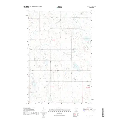
2019 Map of Pine River SW
USGS Topo · Published 2019About this map
Lake Shore anchors the southeastern corner of this Cass County landscape, a region defined by a complex network of streams and scattered wetlands. The hydrology of the area is characterized by several small watercourses, including Mayo Cr, Stony Brook, and the winding Home Brook, which drain toward notable bodies such as Goose Lake and Upper Loon Lake. The presence of several distinct burial grounds, including Mayo Creek Cem, Lunde Cem, and the Grace Lutheran Cem, suggests a history of dispersed rural communities and family farmsteads established throughout the 20th century.
Find a feature on this map
38 named features on this map. Tap any name to fly to it.
Don’t see what you’re looking for? This feature index may not catch every label — zoom into the map to look around manually.
Map Details
Editions of this 2019 Pine River SW Map
This is the sole edition of this map. No revisions or reprints were ever made.
Other maps of this area

1916 · Pillager
USGS Topo · 1:62,500

1919 · Pillager
USGS Topo · 1:62,500

1919 · Leader
USGS Topo · 1:62,500

1953 · Brainerd
USGS Topo · 1:250,000

1957 · Brainerd
USGS Topo · 1:250,000

1958 · Brainerd
USGS Topo · 1:250,000

1959 · Nisswa
USGS Topo · 1:24,000

1959 · Pine River
USGS Topo · 1:24,000

1959 · Jenkins
USGS Topo · 1:24,000

1959 · Pine River SW
USGS Topo · 1:24,000