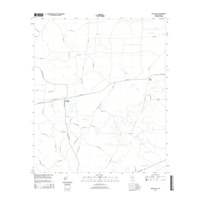
2014 Map of Pine Valley
USGS Topo · Published 2014About this map
The small settlements of Crews Crossing and Pine Valley anchor this portion of Ware County, characterized by a complex network of wetlands and creeks. The landscape is defined by the slow-moving waters of Big Alligator Cr and Little Alligator Cr in the south, while Gator Head Pond and Stalsby Cr dominate the central drainage. A dense grid of local roads and trails, such as Hastey Bridge Rd and Manor Millwood Rd S, connects dispersed homesteads and agricultural plots, reflecting the rural development patterns of southeast Georgia. Transportation through the area is facilitated by Valdosta Hwy and Old State Highway 122 W, which cross a terrain punctuated by numerous unnamed depressions and swampy reaches that have historically influenced road placement and property boundaries.
Find a feature on this map
47 named features on this map. Tap any name to fly to it.
Don’t see what you’re looking for? This feature index may not catch every label — zoom into the map to look around manually.
Map Details
Editions of this 2014 Pine Valley Map
This is the sole edition of this map. No revisions or reprints were ever made.
Other maps of this area

1953 · Waycross
USGS Topo · 1:250,000

1958 · Waycross
USGS Topo · 1:250,000

1967 · Waycross West
USGS Topo · 1:24,000

1967 · Pine Valley
USGS Topo · 1:24,000

1967 · Waycross SW
USGS Topo · 1:24,000

1968 · Homerville East
USGS Topo · 1:24,000

1968 · Manor
USGS Topo · 1:24,000

1968 · Cogdell
USGS Topo · 1:24,000

1971 · Dixie Union
USGS Topo · 1:24,000

1971 · Axson
USGS Topo · 1:24,000