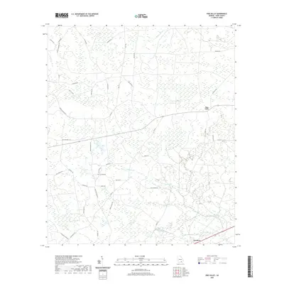
2020 Map of Pine Valley
USGS Topo · Published 2020About this map
Pine Valley and the surrounding reaches of Ware County are defined by a complex network of wetland basins and blackwater drainages. These low-lying depressions, locally identified as bays, include Footlog Bay, Stallard Bay, and Steedley Bay, which dot the landscape alongside permanent water bodies like Gator Head Pond and Long Pond. The drainage pattern is heavily influenced by the winding paths of Big Alligator Cr and Little Alligator Cr in the southern portion of the quadrangle.
Find a feature on this map
54 named features on this map. Tap any name to fly to it.
Don’t see what you’re looking for? This feature index may not catch every label — zoom into the map to look around manually.
Map Details
Editions of this 2020 Pine Valley Map
This is the sole edition of this map. No revisions or reprints were ever made.
Other maps of this area

1953 · Waycross
USGS Topo · 1:250,000

1958 · Waycross
USGS Topo · 1:250,000

1967 · Waycross West
USGS Topo · 1:24,000

1967 · Pine Valley
USGS Topo · 1:24,000

1967 · Waycross SW
USGS Topo · 1:24,000

1968 · Homerville East
USGS Topo · 1:24,000

1968 · Manor
USGS Topo · 1:24,000

1968 · Cogdell
USGS Topo · 1:24,000

1971 · Dixie Union
USGS Topo · 1:24,000

1971 · Axson
USGS Topo · 1:24,000