
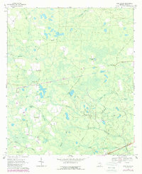
1967 Map of Pine Valley
USGS Topo · Published 1969About this map
Footlog Bay and a series of interconnected wetlands define this portion of Ware County, where the landscape is characterized by shallow depressions known as bays. In the late 1960s, these swampy reaches were managed with a network of firebreaks, indicating the importance of timber and fire management in the local economy. Small agricultural clearings and homesteads punctuate the woods, linked by rural routes like Pine Valley Road and Corbett Road.
Find a feature on this map
38 named features on this map. Tap any name to fly to it.
Don’t see what you’re looking for? This feature index may not catch every label — zoom into the map to look around manually.
Map Details
Editions of this 1967 Pine Valley Map
2 editions found
Other maps of this area

1953 · Waycross
USGS Topo · 1:250,000

1958 · Waycross
USGS Topo · 1:250,000

1967 · Waycross West
USGS Topo · 1:24,000

1967 · Waycross SW
USGS Topo · 1:24,000

1968 · Homerville East
USGS Topo · 1:24,000

1968 · Manor
USGS Topo · 1:24,000

1968 · Cogdell
USGS Topo · 1:24,000

1971 · Dixie Union
USGS Topo · 1:24,000

1971 · Axson
USGS Topo · 1:24,000

1971 · Talmo
USGS Topo · 1:24,000