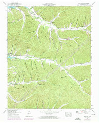
1949 Map of Pine View
USGS Topo · Published 1974About this map
Pine View and the surrounding hollows of Perry County are centered within this 1949 survey, which was updated in 1973 to reflect the evolving landscape near the Kentucky Bdy. The topography is defined by an intricate network of narrow valleys and ridges, where small communities and family landmarks like Bible Hill Cem and Union Ch anchor the local history. Life in this portion of Tennessee followed the drainage of Toms Creek and Lick Creek, with numerous named hollows such as Madden Hollow and O'Guin Hollow indicating long-standing family settlements. The map shows the area shortly after the creation of Kentucky Lake, illustrating how the impounded water reached into former creek beds like Deer Creek. Genealogists will find significant value in the many burial sites, including Clayborne Cem, Pace Cem, and Strickland Cem, which remain as markers of the rural population before more modern shifts in the mid-20th century.
Find a feature on this map
76 named features on this map. Tap any name to fly to it.
Don’t see what you’re looking for? This feature index may not catch every label — zoom into the map to look around manually.
Map Details
Editions of this 1949 Pine View Map
2 editions found
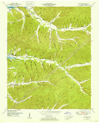
Other maps of this area

1936 · Pine View
USGS Topo · 1:24,000

1936 · Daniels Landing
USGS Topo · 1:24,000

1936 · Linden
USGS Topo · 1:24,000

1936 · Chestnut Grove
USGS Topo · 1:24,000

1936 · Jeannette
USGS Topo · 1:24,000

1936 · Sugar Tree
USGS Topo · 1:24,000

1936 · Lobelville
USGS Topo · 1:24,000

1936 · Perryville
USGS Topo · 1:24,000

1936 · Pope
USGS Topo · 1:24,000

1949 · Perryville
USGS Topo · 1:24,000