Loading...
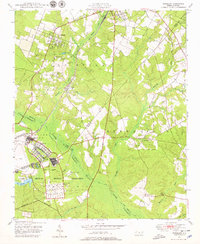
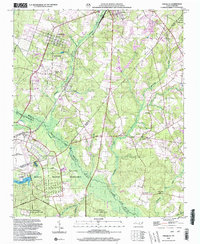
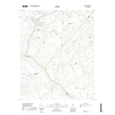
Loading map...1948 Map of Pinebluff
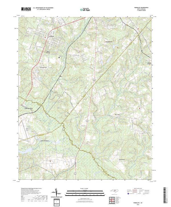
USGS Topo · Published 1979About this map
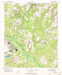
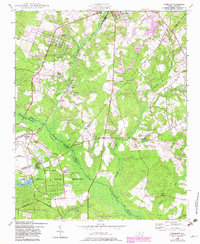
Pinebluff and the surrounding Sand Hills are defined by a significant military presence in the years following World War II. The southern half of the map is dominated by the Camp Mackall Military Reservation, featuring an airfield, a specialized Hospital Area, and a Rifle Range. To the northeast, the corner of the Fort Bragg Military Reservation encroaches, illustrating how central North Carolina became a hub for tactical training and troop housing.
Find a feature on this map
36 named features on this map. Tap any name to fly to it.
Don’t see what you’re looking for? This feature index may not catch every label — zoom into the map to look around manually.
Map Details
Date Portrayed1948
Date Published1979
PublisherU.S. Geological Survey
Map TypeTopographic
Scale1:24,000
Physical Dimensions21.8 x 26.7 inches
Editions of this 1948 Pinebluff Map
3 editions found
Historical Maps of Aberdeen Through Time
8 maps found
Featured Locations
Source Details
SourceU.S. Geological Survey
CopyrightPublic Domain