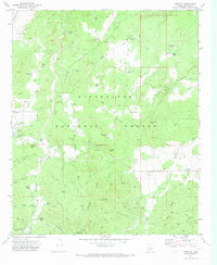
1970 Map of Pinedale
USGS Topo · Published 1973About this map
Sitgreaves National Forest dominates this topographic study of the Colorado Plateau, revealing a landscape defined by its timber and livestock history. The settlement of Pinedale serves as a focal point, supported by vital water infrastructure like the Pinedale Spring and dozens of livestock tanks, such as Turkey Lake and Henry's Tank. These water sources were essential for ranching in a terrain marked by deep erosional features like Dodson Wash and Mortensen Wash.
Find a feature on this map
73 named features on this map. Tap any name to fly to it.
Don’t see what you’re looking for? This feature index may not catch every label — zoom into the map to look around manually.
Map Details
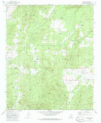
Editions of this 1970 Pinedale Map
2 editions found
Other maps of this area

1886 · Holbrook
USGS Topo · 1:250,000

1893 · Holbrook
USGS Topo · 1:250,000

1954 · Holbrook
USGS Topo · 1:250,000

1957 · Holbrook
USGS Topo · 1:250,000

1958 · Holbrook
USGS Topo · 1:250,000

1960 · Holbrook
USGS Topo · 1:250,000

1961 · Clay Springs
USGS Topo · 1:62,500
1961 · Show Low
USGS Topo · 1:62,500

1961 · Cibecue
USGS Topo · 1:62,500
1970 · Cactus Flat
USGS Topo · 1:24,000