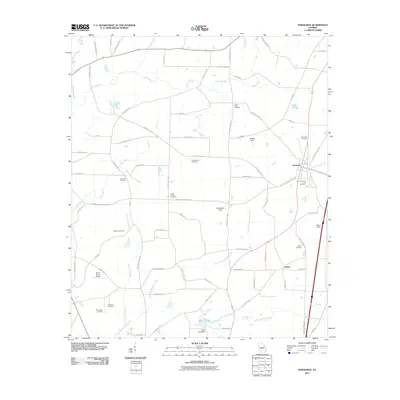
2011 Map of Pinehurst
USGS Topo · Published 2011About this map
Pinehurst and Findlay anchor this 2011 survey of Dooly County, where agricultural lands are bisected by numerous small waterways and a dense network of country roads. The landscape is notably defined by its many burial grounds, including the Evergreen Cemetery, Mount Olive Cemetery, and the Forest Chapel Cemetery, providing significant points of interest for genealogical research in this part of Georgia. Many landmarks bear local family names, such as Roney Farms Airport and Wrights Field, reflecting the area's established community identity.
Find a feature on this map
72 named features on this map. Tap any name to fly to it.
Don’t see what you’re looking for? This feature index may not catch every label — zoom into the map to look around manually.
Map Details
Editions of this 2011 Pinehurst Map
This is the sole edition of this map. No revisions or reprints were ever made.
Other maps of this area

1956 · Perry
USGS Topo · 1:62,500

1957 · Macon
USGS Topo · 1:250,000

1958 · Macon
USGS Topo · 1:250,000

1964 · Macon
USGS Topo · 1:250,000

1971 · Pineview NW
USGS Topo · 1:24,000

1971 · Pineview SW
USGS Topo · 1:24,000

1971 · Henderson
USGS Topo · 1:24,000

1971 · Pinehurst
USGS Topo · 1:24,000

1972 · Byromville
USGS Topo · 1:24,000

1972 · Drayton
USGS Topo · 1:24,000