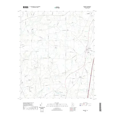
2020 Map of Pinehurst
USGS Topo · Published 2020About this map
The agricultural landscape of Dooly County is defined here by the headwaters of several drainages, including Little Pennahatchee Cr and Turkey Cr. Settlement patterns cluster around the towns of Pinehurst and Unadilla at the northern edge, with the small community of Findlay and the town of Lilly marking the southern and western reaches. The area is heavily intersected by historic routes such as the Old National Hwy and Old Pinehurst Rd, reflecting long-established travel corridors between these Georgia farming centers.
Find a feature on this map
95 named features on this map. Tap any name to fly to it.
Don’t see what you’re looking for? This feature index may not catch every label — zoom into the map to look around manually.
Map Details
Editions of this 2020 Pinehurst Map
This is the sole edition of this map. No revisions or reprints were ever made.
Other maps of this area

1956 · Perry
USGS Topo · 1:62,500

1957 · Macon
USGS Topo · 1:250,000

1958 · Macon
USGS Topo · 1:250,000

1964 · Macon
USGS Topo · 1:250,000

1971 · Pineview NW
USGS Topo · 1:24,000

1971 · Pineview SW
USGS Topo · 1:24,000

1971 · Henderson
USGS Topo · 1:24,000

1971 · Pinehurst
USGS Topo · 1:24,000

1972 · Byromville
USGS Topo · 1:24,000

1972 · Drayton
USGS Topo · 1:24,000