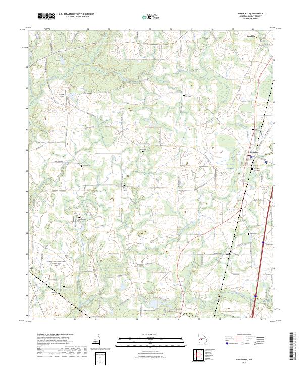
2024 Map of Pinehurst
USGS Topo · Published 2024About this map
Pinehurst and its surrounding agricultural landscape in Dooly County appear here as a network of rural roads and scattered family cemeteries. The town center is defined by its intersection of Pine Ave and Hawkinsville Hwy, flanked by a series of rail-side streets including W Railroad St and E Railroad St. This geography is shaped by the drainage patterns of Little Pennahatchee Creek and Turkey Creek, which meander through the timbered tracts and fields between larger settlements like Unadilla to the north and Lilly to the southwest.
Find a feature on this map
95 named features on this map. Tap any name to fly to it.
Don’t see what you’re looking for? This feature index may not catch every label — zoom into the map to look around manually.
Map Details
Editions of this 2024 Pinehurst Map
This is the sole edition of this map. No revisions or reprints were ever made.
Other maps of this area

1956 · Perry
USGS Topo · 1:62,500

1957 · Macon
USGS Topo · 1:250,000

1958 · Macon
USGS Topo · 1:250,000

1964 · Macon
USGS Topo · 1:250,000

1971 · Pineview NW
USGS Topo · 1:24,000

1971 · Pineview SW
USGS Topo · 1:24,000

1971 · Henderson
USGS Topo · 1:24,000

1971 · Pinehurst
USGS Topo · 1:24,000

1972 · Byromville
USGS Topo · 1:24,000

1972 · Drayton
USGS Topo · 1:24,000