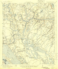
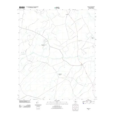
1919 Map of Pineland
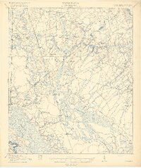
USGS Topo · Published 1942About this map
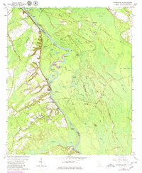
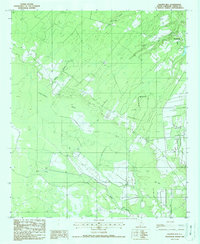
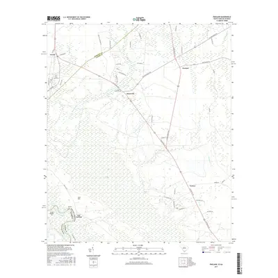
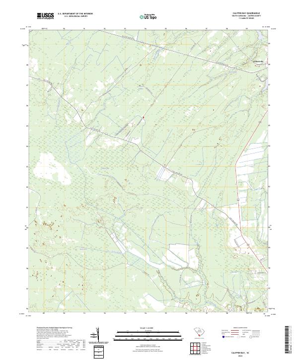
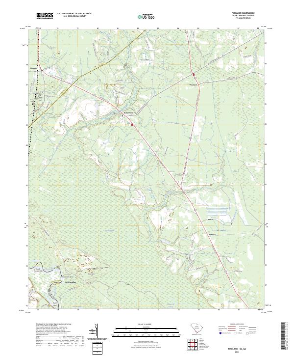
Calepen Bay and the vast Great Swamp dominate this lowcountry landscape surveyed just after the First World War. The region is defined by its watery geography, where the Savannah River forms the southwestern edge and the Coosawhatchie Swamp lines the northeast. Local industry and social life are anchored by features like Highsmith's Sawmill and numerous rural institutions, including Steep Bottom Church and Pine Savannah School.
Find a feature on this map
60 named features on this map. Tap any name to fly to it.
Don’t see what you’re looking for? This feature index may not catch every label — zoom into the map to look around manually.
Map Details
Editions of this 1919 Pineland Map
3 editions found

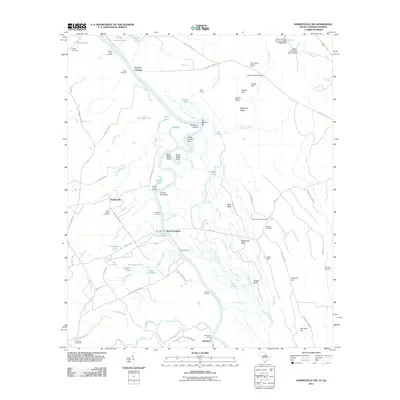
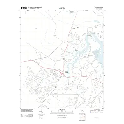
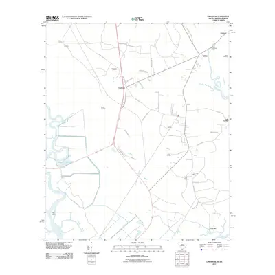
Historical Maps of Estill Through Time
46 maps found
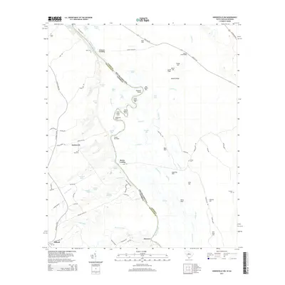
1919 Pineland
Jasper County, SC

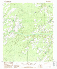
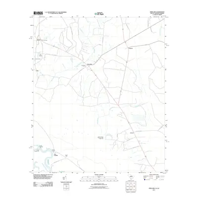
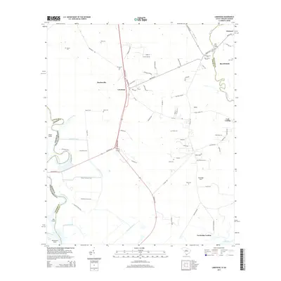
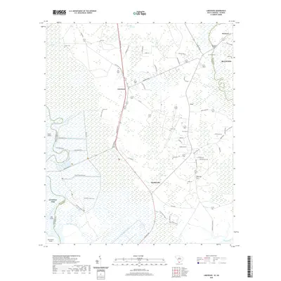
1943 Pineland
Jasper County, SC
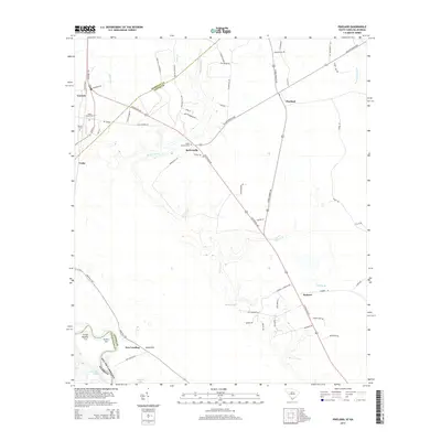
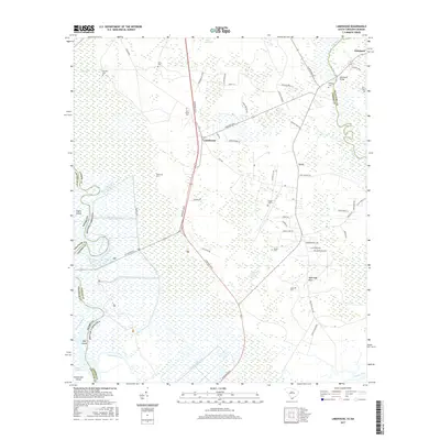
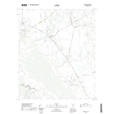
1955 Limehouse
Jasper County, SC
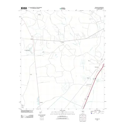
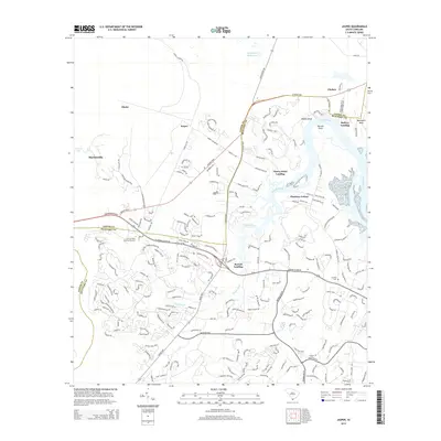
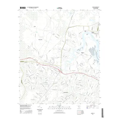
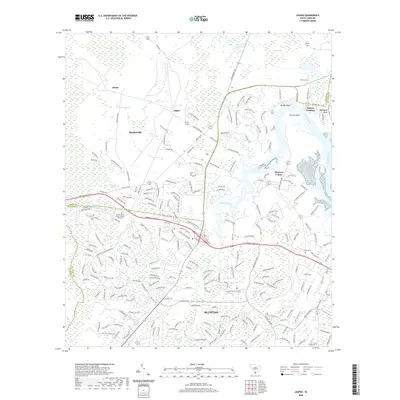
1958 Jasper
Jasper County, SC
1962 Hardeeville NW
Jasper County, SC
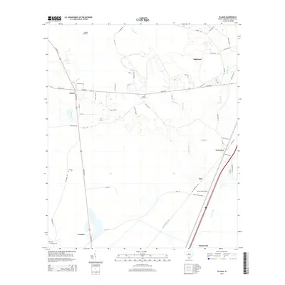
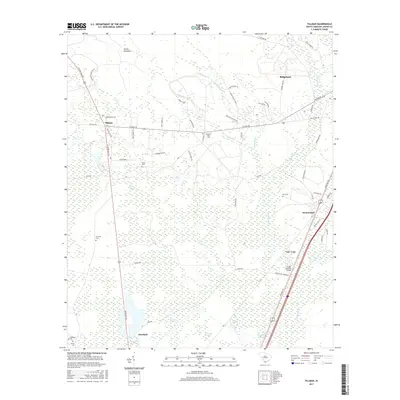
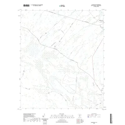
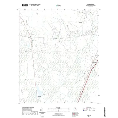
1962 Tillman
Jasper County, SC
1978 Pineland
Jasper County, SC
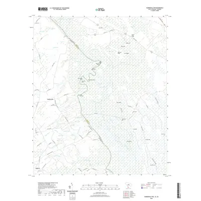
1980 Limehouse
Jasper County, SC
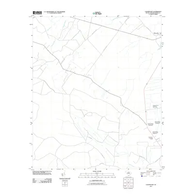
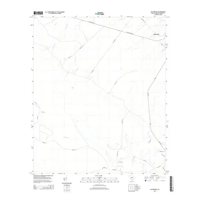
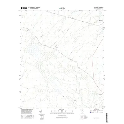
1988 Calfpen Bay
Jasper County, SC
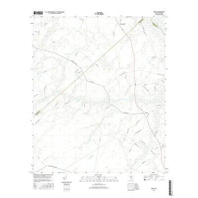
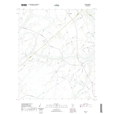
1988 Grays
Jasper County, SC
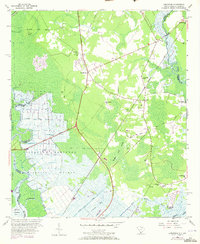
1988 Pineland
Jasper County, SC
2011 Calfpen Bay
Jasper County, SC
2011 Grays
Jasper County, SC
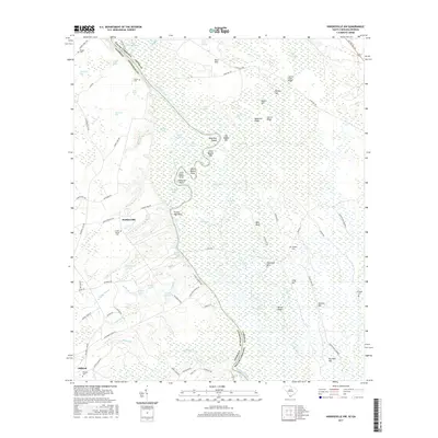
2011 Hardeeville NW
Jasper County, SC
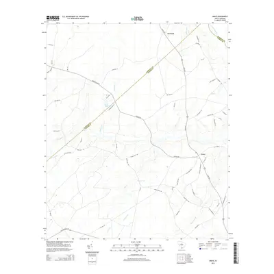
2011 Jasper
Jasper County, SC
2011 Limehouse
Jasper County, SC
2011 Pineland
Jasper County, SC
2011 Tillman
Jasper County, SC
2014 Calfpen Bay
Jasper County, SC
2014 Grays
Jasper County, SC
2014 Hardeeville NW
Jasper County, SC
2014 Jasper
Jasper County, SC
2014 Limehouse
Jasper County, SC
2014 Pineland
Jasper County, SC
2014 Tillman
Jasper County, SC
2017 Calfpen Bay
Jasper County, SC
2017 Grays
Jasper County, SC
2017 Hardeeville NW
Jasper County, SC
2017 Jasper
Jasper County, SC
2017 Limehouse
Jasper County, SC
2017 Pineland
Jasper County, SC
2017 Tillman
Jasper County, SC
2020 Calfpen Bay
Jasper County, SC
2020 Grays
Jasper County, SC
2020 Hardeeville NW
Jasper County, SC
2020 Jasper
Jasper County, SC
2020 Limehouse
Jasper County, SC
2020 Pineland
Jasper County, SC
2020 Tillman
Jasper County, SC
2024 Calfpen Bay
Jasper County, SC
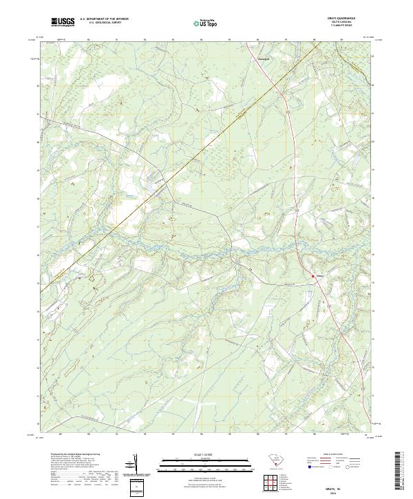
2024 Grays
Jasper County, SC
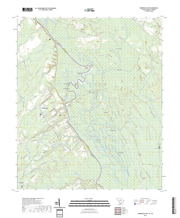
2024 Hardeeville NW
Jasper County, SC
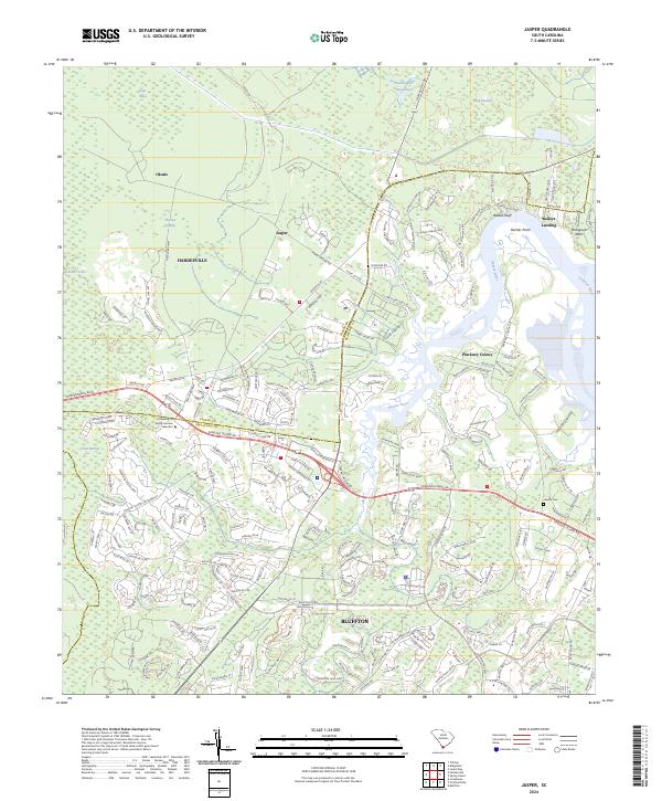
2024 Jasper
Jasper County, SC
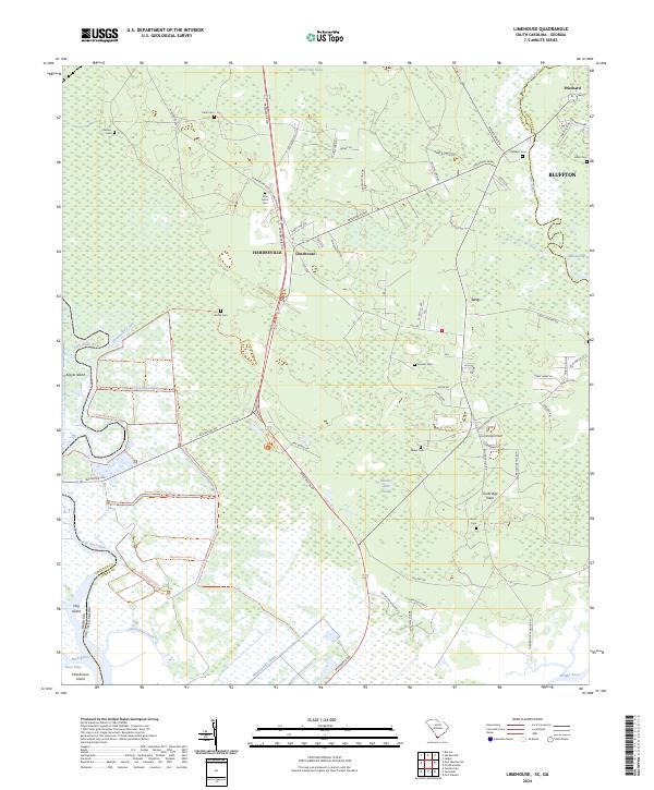
2024 Limehouse
Jasper County, SC
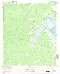
2024 Pineland
Jasper County, SC
2024 Tillman
Jasper County, SC