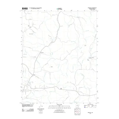
2011 Map of Pineville
USGS Topo · Published 2011About this map
Pineville and the surrounding rural landscape of Izard County are defined by a network of creeks and small settlements in this 2011 survey. The community centers of Dolph, Wideman, and the aptly named Crossroads are connected by a web of county roads that navigate the local topography, including Hively Mountain and the descent into Dry Hollow. For genealogists and local historians, the map provides precise locations for the Cresswell Cemetery, Potts Cemetery, and Spring Creek Cemetery, which serve as vital markers of the area's family history.
Find a feature on this map
58 named features on this map. Tap any name to fly to it.
Don’t see what you’re looking for? This feature index may not catch every label — zoom into the map to look around manually.
Map Details
Editions of this 2011 Pineville Map
This is the sole edition of this map. No revisions or reprints were ever made.
Other maps of this area

1890 · Mountain Home
USGS Topo · 1:125,000

1891 · Mountain Home
USGS Topo · 1:125,000

1894 · Mountain Home
USGS Topo · 1:125,000

1945 · Harrison
USGS Topo · 1:250,000

1949 · Harrison
USGS Topo · 1:250,000

1950 · Salem
USGS Topo · 1:62,500

1951 · Salem
USGS Topo · 1:62,500

1951 · Melbourne
USGS Topo · 1:62,500

1954 · Harrison
USGS Topo · 1:250,000

1957 · Poplar Bluff
USGS Topo · 1:250,000