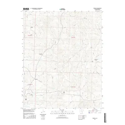
2017 Map of Pineville
USGS Topo · Published 2017About this map
The northern reaches of Calico Rock and the surrounding Ozark plateau are defined by a network of winding creeks and small settlements in this recent topographic survey. Small communities like Pineville, Wideman, and the curiously named Forty Four are linked by rural routes such as Jackson Port Rd E and Corinth Rd. The landscape is deeply dissected by drainages including Piney Cr and Indian Cr, which cut through the undulating terrain of Izard County. Genealogists will find several burial grounds preserved on this sheet, notably Spring Creek Cem, Cresswell Cem, and Potts Cem. The settlement pattern reflects a long-standing reliance on the local topography, with roads following ridgelines and creek beds, and names like Dry Hollow indicating the local character of the land.
Find a feature on this map
63 named features on this map. Tap any name to fly to it.
Don’t see what you’re looking for? This feature index may not catch every label — zoom into the map to look around manually.
Map Details
Editions of this 2017 Pineville Map
This is the sole edition of this map. No revisions or reprints were ever made.
Other maps of this area

1890 · Mountain Home
USGS Topo · 1:125,000

1891 · Mountain Home
USGS Topo · 1:125,000

1894 · Mountain Home
USGS Topo · 1:125,000

1945 · Harrison
USGS Topo · 1:250,000

1949 · Harrison
USGS Topo · 1:250,000

1950 · Salem
USGS Topo · 1:62,500

1951 · Salem
USGS Topo · 1:62,500

1951 · Melbourne
USGS Topo · 1:62,500

1954 · Harrison
USGS Topo · 1:250,000

1957 · Poplar Bluff
USGS Topo · 1:250,000