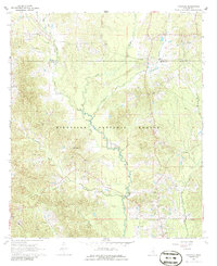
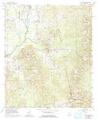
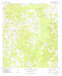
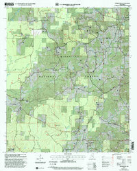
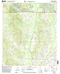
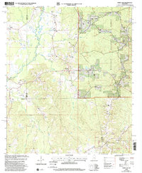
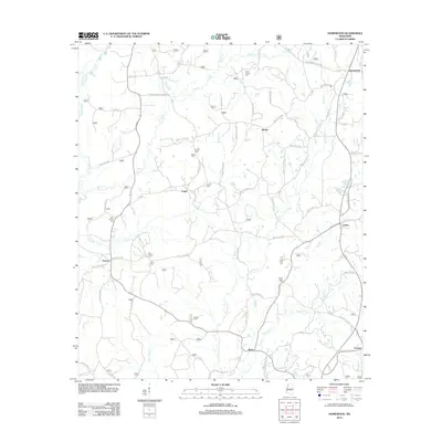
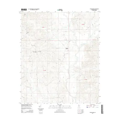
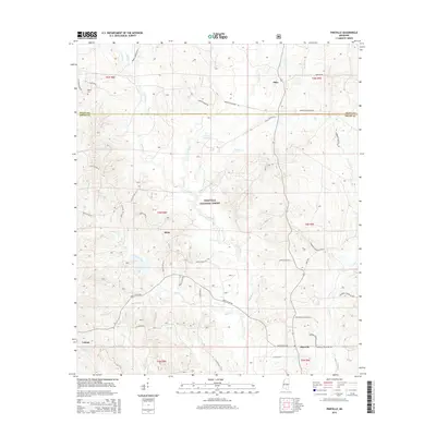
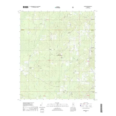
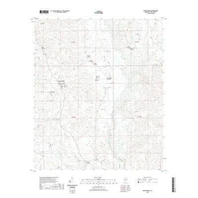
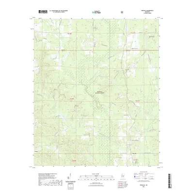
2000 Map of Pineville
USGS Topo · Published 2002About this map
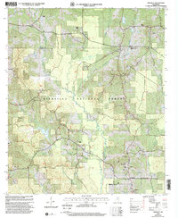
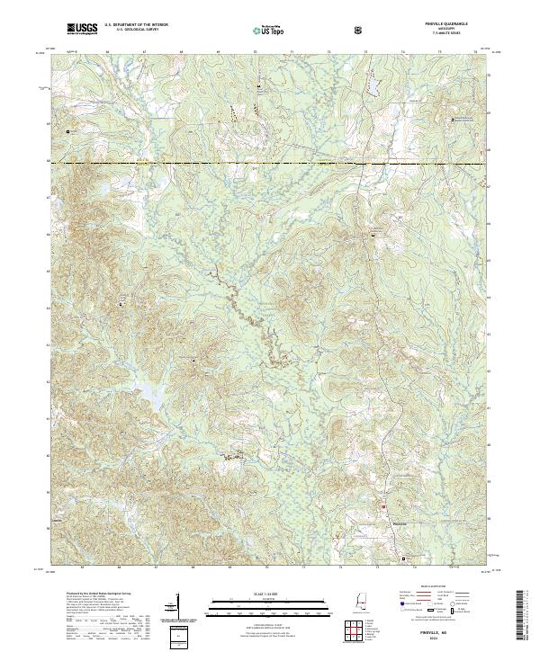
The Bienville National Forest dominates this landscape in central Mississippi, where the headwaters of the Leaf River converge with several significant tributaries. This survey, revised at the turn of the millennium, illustrates a rural topography defined by the winding paths of Tallabogue Creek, Turkey Creek, and Tishkill Creek. The settlement of Pineville serves as the local hub, surrounded by a dense network of country churches that speak to the area's social fabric, including Oak Ridge Ch and Pineville Ch.
Find a feature on this map
20 named features on this map. Tap any name to fly to it.
Don’t see what you’re looking for? This feature index may not catch every label — zoom into the map to look around manually.
Map Details
Editions of this 2000 Pineville Map
This is the sole edition of this map. No revisions or reprints were ever made.
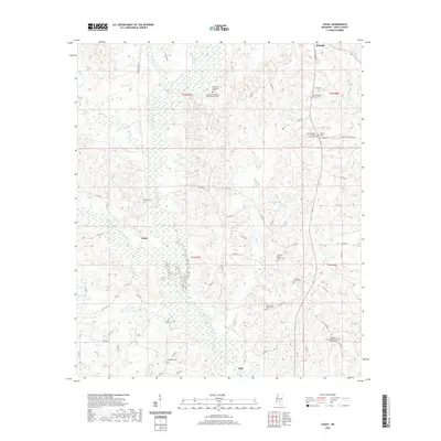
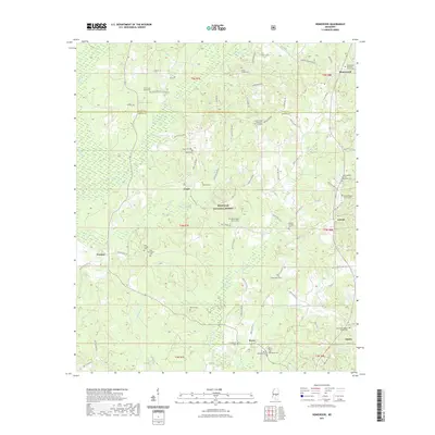
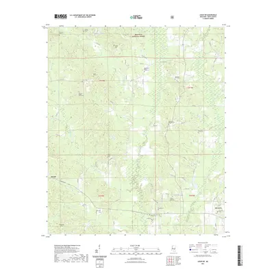
Historical Maps of Otho Through Time
41 maps found
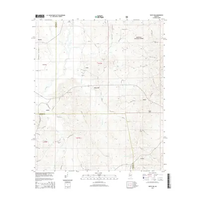
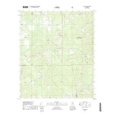
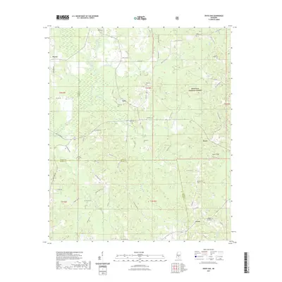
1935 White Oak
Smith County, MS
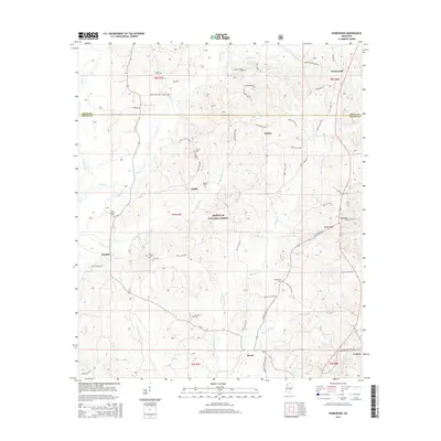
1968 Homewood
Smith County, MS
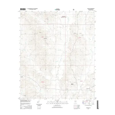
1968 Louin SW
Smith County, MS
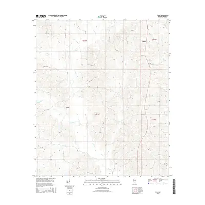
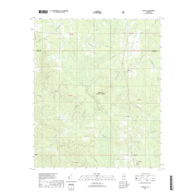
1968 Pineville
Smith County, MS
1968 White Oak
Smith County, MS
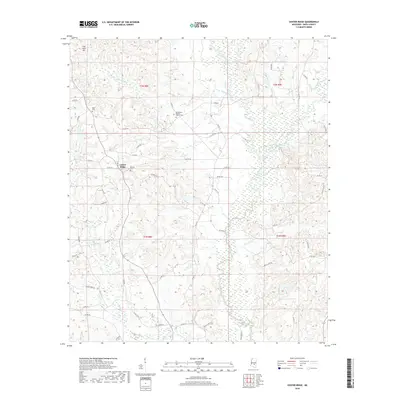
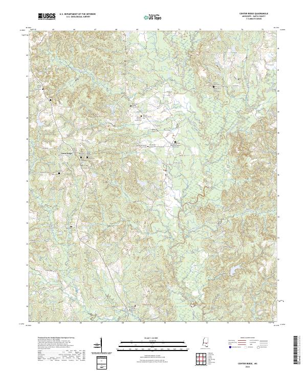
1975 Center Ridge
Smith County, MS

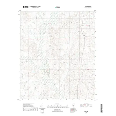
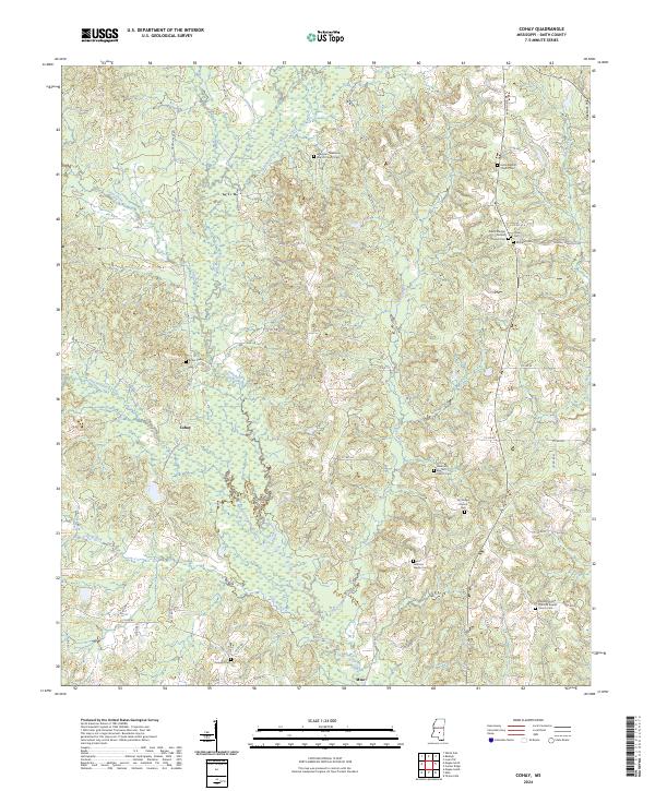
1975 Cohay
Smith County, MS
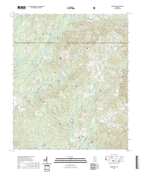
2000 Homewood
Smith County, MS
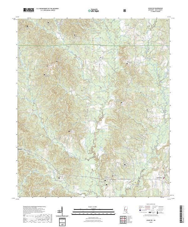
2000 Louin SW
Smith County, MS
2000 Pineville
Smith County, MS
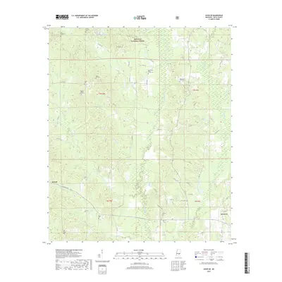
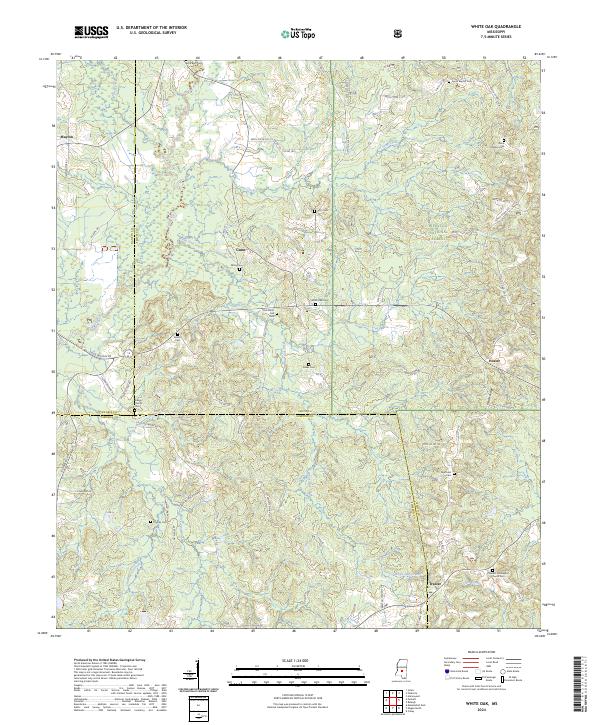
2000 White Oak
Smith County, MS
2012 Center Ridge
Smith County, MS
2012 Cohay
Smith County, MS
2012 Homewood
Smith County, MS
2012 Louin SW
Smith County, MS
2012 Pineville
Smith County, MS
2012 White Oak
Smith County, MS
2015 Center Ridge
Smith County, MS
2015 Cohay
Smith County, MS
2015 Homewood
Smith County, MS
2015 Louin SW
Smith County, MS
2015 Pineville
Smith County, MS
2015 White Oak
Smith County, MS
2018 Center Ridge
Smith County, MS
2018 Cohay
Smith County, MS
2018 Homewood
Smith County, MS
2018 Louin SW
Smith County, MS
2018 Pineville
Smith County, MS
2018 White Oak
Smith County, MS
2020 Center Ridge
Smith County, MS
2020 Cohay
Smith County, MS
2021 Homewood
Smith County, MS
2021 Louin SW
Smith County, MS
2021 Pineville
Smith County, MS
2021 White Oak
Smith County, MS
2024 Center Ridge
Smith County, MS
2024 Cohay
Smith County, MS
2024 Homewood
Smith County, MS
2024 Louin SW
Smith County, MS
2024 Pineville
Smith County, MS
2024 White Oak
Smith County, MS