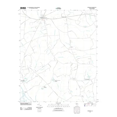
2011 Map of Pinewood
USGS Topo · Published 2011About this map
Pinewood and its surrounding wetlands define this landscape near the northern reaches of Lake Marion. The town serves as a central hub for the area's rural road network, which includes historic routes like Milford Plantation Rd and Bacon Hill Rd. The terrain is characterized by an extensive system of branches and swamps, most notably Sammy Swamp and Hungary Hall Branch, which feed into various millponds and dammed reservoirs. Genealogists will find several burial sites preserved on this sheet, including Calvary Cemetery, Richardson Cemetery, and Brown Cemetery. The map documents a quiet period of agricultural and residential continuity, where local industry is reflected in features like Elliott Millpond and Curtis Millpond. Near the southern edge, the settlement of Panola sits at the junction of several drainage systems, including Belser Creek and Chapel Creek.
Find a feature on this map
89 named features on this map. Tap any name to fly to it.
Don’t see what you’re looking for? This feature index may not catch every label — zoom into the map to look around manually.
Map Details
Editions of this 2011 Pinewood Map
This is the sole edition of this map. No revisions or reprints were ever made.
Other maps of this area

1943 · Eastover
USGS Topo · 1:62,500

1946 · Elloree
USGS Topo · 1:62,500

1946 · Sumter
USGS Topo · 1:62,500

1953 · Poinsett State Park
USGS Topo · 1:24,000

1954 · Augusta
USGS Topo · 1:250,000

1957 · Sumter
USGS Topo · 1:62,500

1957 · Augusta
USGS Topo · 1:250,000

1958 · Augusta
USGS Topo · 1:250,000

1961 · Augusta
USGS Topo · 1:250,000

1962 · Augusta
USGS Topo · 1:250,000