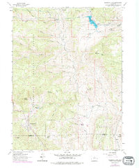
1962 Map of Pinewood Lake
USGS Topo · Published 1978About this map
Pinewood Lake and the surrounding high-country ranching land define this 1962 survey of the Larimer and Boulder County borderlands. The map reveals a specialized landscape of water management and livestock operations, anchored by the Pole Hill Powerplant and the Pole Hill Gate House in the north. Settlement is concentrated in small ranching pockets such as Pinewood Ranch and Linger Ranch, alongside the residential cluster at Pinewood Springs to the south.
Find a feature on this map
53 named features on this map. Tap any name to fly to it.
Don’t see what you’re looking for? This feature index may not catch every label — zoom into the map to look around manually.
Map Details
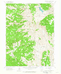
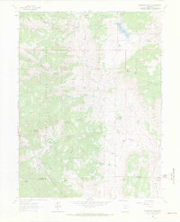
Editions of this 1962 Pinewood Lake Map
3 editions found
Other maps of this area

1902 · Boulder
USGS Topo · 1:62,500

1904 · Niwot
USGS Topo · 1:62,500

1904 · Boulder
USGS Topo · 1:62,500

1905 · Mount Olympus
USGS Topo · 1:62,500

1906 · Loveland
USGS Topo · 1:62,500

1907 · Mount Olympus
USGS Topo · 1:62,500

1908 · Loveland
USGS Topo · 1:62,500

1950 · Hygiene
USGS Topo · 1:24,000

1954 · Greeley
USGS Topo · 1:250,000

1957 · Greeley
USGS Topo · 1:250,000